Utrecht, Netherlands — Northwestern Europe
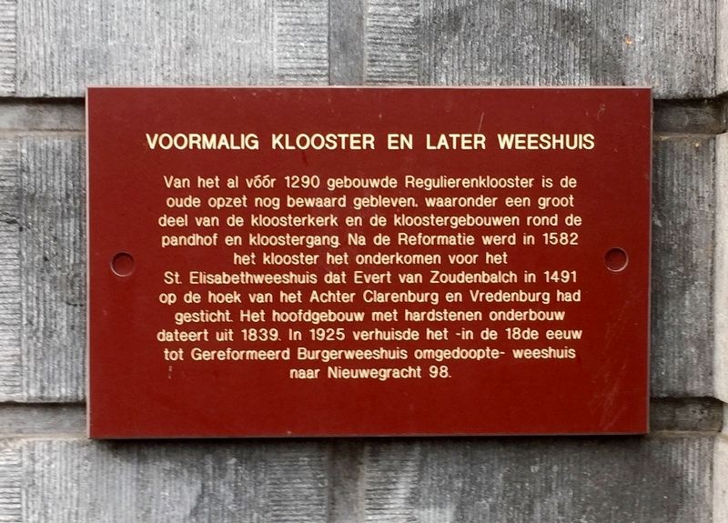
Voormalig Klooster en Later Weeshuis / Former Monastery and Later Orphanage
Inscription.
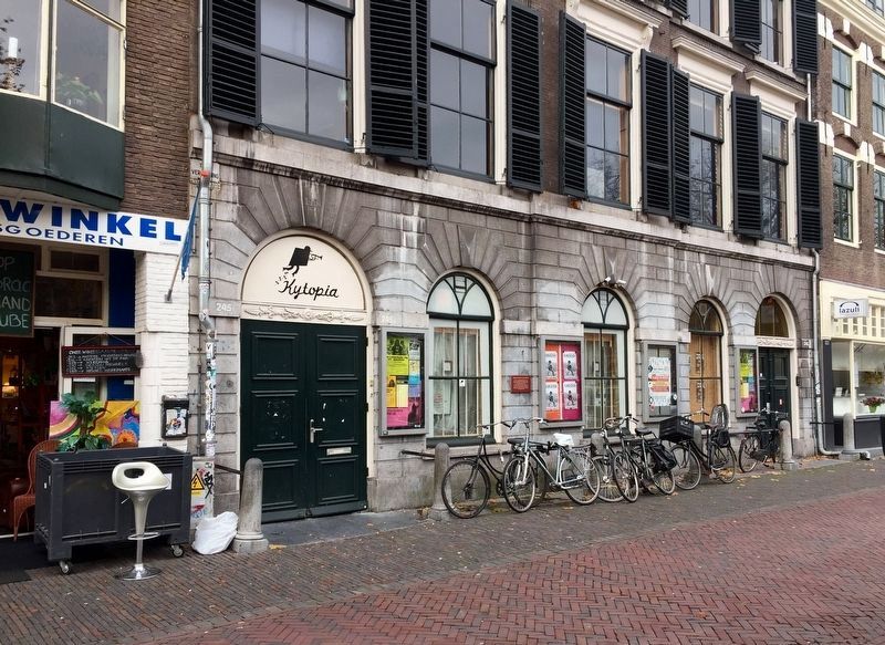
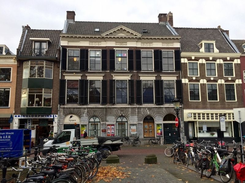
Dating to before 1290, some parts of the "Regular" Monastery were still preserved, including a large part of the monastery and convent buildings around the quadrangle and cloister. After the Reformation in 1582, the monastery housed the St. Elizabeth Orphanage, which was founded in 1491 by Evert van Zoudenbalch in the area of Achter Clarenburg- and Vredenburg-streets (~600 M. north of the marker site). The main building with stone foundation dates back to 1839. In 1925, having been renamed the Reformed Church Orphanage in the 18th Century, the orphanage was relocated to Nieuwegracht 98.
Topics. This historical marker is listed in these topic lists: Charity & Public Work • Churches & Religion.
Location. 52° 5.236′ N, 5° 7.296′ E. Marker is in Utrecht. Marker is on Oudegracht just north of Brandstraat, on the left when traveling north. Touch for map. Marker is at or near this postal address: Oudegracht 245, Utrecht 3511 NL, Netherlands. Touch for directions.
Other nearby markers. At least 8 other markers are within walking distance of this marker. De Zakkendrager / The Porters (within shouting distance of this marker); Doopsgezinde Kerk / Mennonite Church (within shouting distance of this marker); Geboortehuis van Paus Adriaan / Birthplace of Pope Adrian (within shouting distance of this marker); St. Jacobsgasthuis / St. James' Guest House (about 90 meters away, measured in a direct line); Mieropskameren / Mierop's Homes (about 120 meters away); Het Duitse Huis / The German House (about 210 meters away); Claustraal Huis van Oudemunster / Canon House of the Former Oudmunster Church (approx. 0.3 kilometers away); Eloyen Gasthuis / Eloyen Almshouse (approx. 0.3 kilometers away). Touch for a list and map of all markers in Utrecht.
Also see . . . Oudegracht 245 (Wikipedia.nl). Short Dutch-language article providing information on the property's use as a monastery, orphanage,
concert hall and cinema, refugee reception area, and art and performance space. (Submitted on December 10, 2016.)
Credits. This page was last revised on January 1, 2024. It was originally submitted on December 10, 2016, by Andrew Ruppenstein of Lamorinda, California. This page has been viewed 256 times since then and 20 times this year. Photos: 1, 2, 3. submitted on December 10, 2016, by Andrew Ruppenstein of Lamorinda, California.


