Tequisquiapan, Querétaro, Mexico — The Central Highlands (North America)
First Public Education in Tequisquiapan
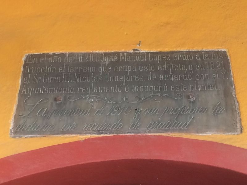
Inscription.
En el año de 1820, D. José Manuel Lopez cedió a la Instrucción el terreno que ocupa este edificio, y en 1821 el Sr. Cura D. L. Nicolás Conejares, de acuerdo con el Y. Ayuntamiento, reglamentó é inauguró este plantel.
La juventud de 1910 y sus profesores les dedican este recuerdo de gratitud.
In 1820, José Manuel López ceded to the Instruction the land that this building occupies, and in 1821 Father Nicolás Conejares, in agreement with the City Council, organized and inaugurated this campus.
The youth of 1910 and their teachers dedicate this memory of gratitude.
Erected 1910 by La juventud de 1910 y sus profesores.
Topics. This historical marker is listed in this topic list: Education. A significant historical year for this entry is 1820.
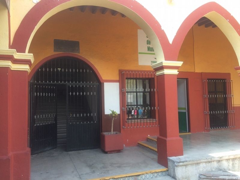
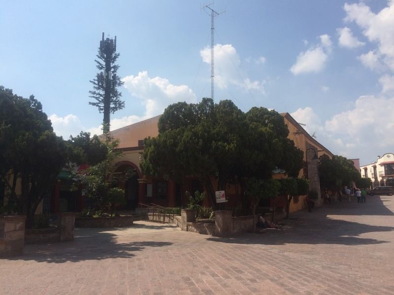
Location. 20° 31.326′ N, 99° 53.535′ W. Marker is in Tequisquiapan, Querétaro. Marker is at the intersection of Calle Niños Héroes and Calle Morelos Norte, on the left when traveling west on Calle Niños Héroes. The building is outside of the Tequisquiapan Post Office (Edificio de Correos). Touch for map. Marker is in this post office area: Tequisquiapan QUE 76750, Mexico. Touch for directions.
Other nearby markers. At least 8 other markers are within 8 kilometers of this marker, measured as the crow flies. Municipal Auditorium (here, next to this marker); Plaza Reforma (within shouting distance of this marker); Miguel Hidalgo y Costilla (about 90 meters away, measured in a direct line); Parish of Santa María de la Asunción (about 120 meters away); The Legend of the Baroness (about 150 meters away); The Geographical Center of Mexico (about 180 meters away); Salvador Michaus Marroquín (about 180 meters away); La Trinidad Natural Protected Area (approx. 7.5 kilometers away). Touch for a list and map of all markers in Tequisquiapan.
Credits. This page was last revised on August 12, 2018. It was originally submitted on December 10, 2016, by J. Makali Bruton of Accra, Ghana. This page has been viewed 203 times since then and 16 times this year. Photos: 1, 2, 3. submitted on December 10, 2016, by J. Makali Bruton of Accra, Ghana.


