Drytown in Amador County, California — The American West (Pacific Coastal)
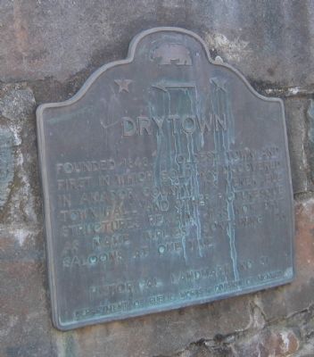
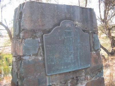
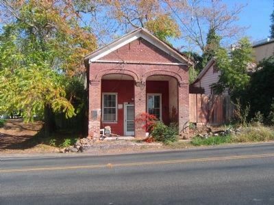
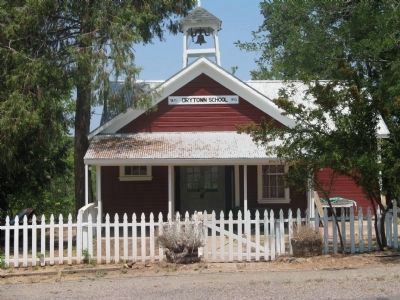
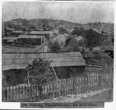
Drytown
Erected by Department of Public Works - Division of Highways. (Marker Number 31.)
Topics and series. This historical marker is listed in these topic lists: Landmarks • Notable Places. In addition, it is included in the California Historical Landmarks series list. A significant historical year for this entry is 1848.
Location. 38° 26.529′ N, 120° 51.46′ W. Marker is in Drytown, California, in Amador County. Marker is on Hanford Street (State Highway 49), on the right when traveling south. Touch for map. Marker is in this post office area: Drytown CA 95699, United States of America. Touch for directions.
Other nearby markers. At least 8 other markers are within 3 miles of this marker, measured as the crow flies. Salute to Early Amador Miners (about 700 feet away, measured in a direct line); a different marker also named Drytown (approx. 0.2 miles away); Early Day Butcher Shop (approx. 0.2 miles away); New Chicago (approx. 1.2 miles away); Fremont-Gover Mine (approx. 1.4 miles away); Treasure Mine (approx. 1.8 miles away); Bunker Hill Mine (approx. 2.2 miles away); Amador City Cemetery (approx. 2.3 miles away). Touch for a list and map of all markers in Drytown.
Also see . . . Dry Town or "Dry Diggins". (Submitted on August 18, 2008, by Syd Whittle of Mesa, Arizona.)
Credits. This page was last revised on December 22, 2016. It was originally submitted on August 18, 2008, by Syd Whittle of Mesa, Arizona. This page has been viewed 1,867 times since then and 20 times this year. Last updated on December 20, 2016, by Michael Kindig of Elk Grove, California. Photos: 1, 2, 3. submitted on August 18, 2008, by Syd Whittle of Mesa, Arizona. 4, 5, 6. submitted on October 3, 2008, by Syd Whittle of Mesa, Arizona. 7. submitted on April 10, 2009, by Syd Whittle of Mesa, Arizona.
