Stonycreek Township near Stoystown in Somerset County, Pennsylvania — The American Northeast (Mid-Atlantic)
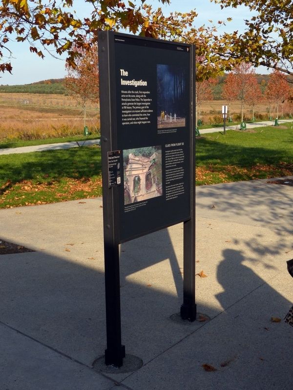
The Investigation
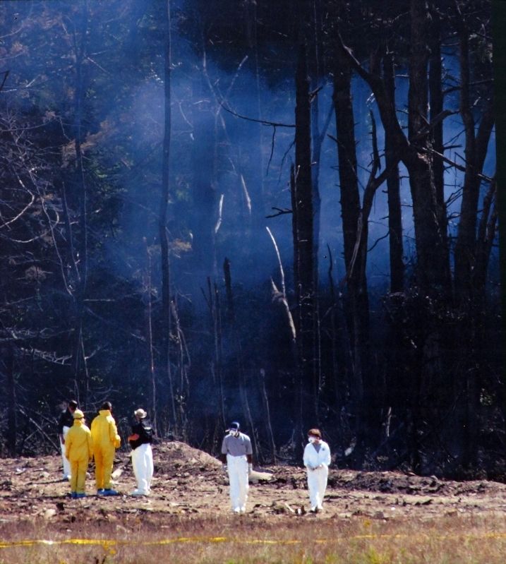
Minutes after the crash, first responders arrive on the scene, along with the Pennsylvania State Police. The September 11 attacks generate the largest investigation in FBI history. The primary goal of the investigation is to recover sufficient evidence to learn who committed the crime, how it was carried out, who financed the operation, and what might happen next.
Clues From Flight 93
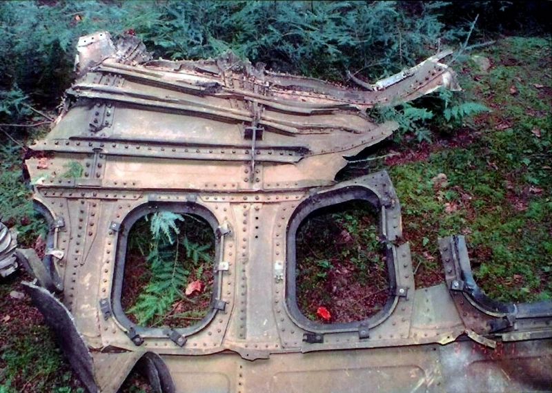
Investigators quickly realize that of the four crash sites, the Shanksville location will likely yield the most evidence in the least amount of time. Because Flight 93 crashes in an open field, parts of the plane - including the "black boxes," personal effects, and human remains - can be recovered here more easily.
Enough remains are recovered to positively identify everyone on board the plane. Evidence recovered includes knives, passports belonging to the terrorists, and handwritten documents in Arabic describing the terrorists plans for the attack.
Excavation of the crater reaches a depth of 40 feet where aircraft debris is no longer found. On September 24, 2001, the FBI closes its field investigation and the Somerset County Coroner later fills the crater and restores the scene to its condition before September 11.
Topics. This memorial is listed in these topic lists: 9/11 Attacks • Air & Space. A significant historical date for this entry is September 11, 2001.
Location. This marker has been replaced by another marker nearby. It was located near 40° 3.041′ N, 78° 54.098′ W. Marker was near Stoystown, Pennsylvania, in Somerset County. It was in Stonycreek Township. Memorial could be reached from Approach Road. Touch for map. Marker was in this post office area: Stoystown PA 15563, United States of America. Touch for directions.
Other nearby markers. At least 8 other markers are within walking distance of this location. Since September 11 (here, next to this marker); a different marker also named The Investigation (a few steps from this marker); "In the cockpit. If we don't, we'll die!" (a few steps from this marker); Threat in the Air (a few steps from this marker); America Attacked (a few steps from this marker); Welcome to the Memorial Plaza (within shouting distance of this marker); a different marker also named Welcome to the Memorial Plaza (about 300 feet away, measured in a direct line); Crash Site and Debris Field (about 500 feet away). Touch for a list and map of all markers in Stoystown.
More about this marker. This marker was replaced sometime after 2016 by a new marker with an identical title but edited text and a new layout with one extra photograph.
Related marker. Click here for another marker that is related to this marker. The replacement marker for The Investigation
Credits. This page was last revised on April 25, 2024. It was originally submitted on December 31, 2016, by Allen C. Browne of Silver Spring, Maryland. This page has been viewed 575 times since then and 22 times this year. Photos: 1, 2, 3, 4. submitted on December 31, 2016, by Allen C. Browne of Silver Spring, Maryland. • Bill Pfingsten was the editor who published this page.


