Near Senoia in Fayette County, Georgia — The American South (South Atlantic)
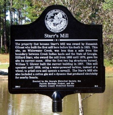
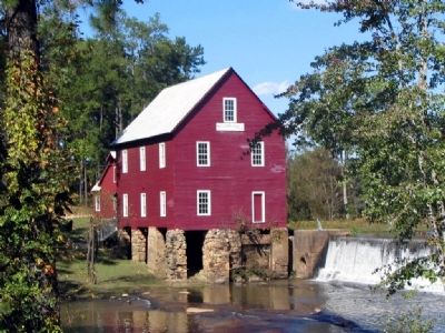
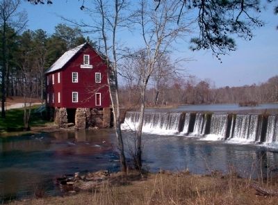
Starr's Mill
Erected 2004 by Georgia Historical Society, the Fayette Heritage Project, and the Fayette County Historical Society. (Marker Number 56-2.)
Topics and series. This historical marker is listed in these topic lists: Industry & Commerce • Notable Buildings • Settlements & Settlers. In addition, it is included in the Georgia Historical Society series list. A significant historical year for this entry is 1825.
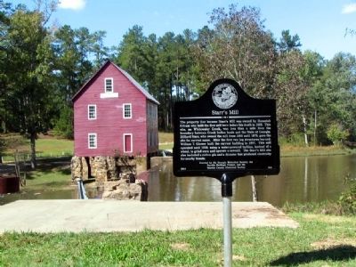
Location. 33° 19.712′ N, 84° 30.493′ W. Marker is near Senoia, Georgia, in Fayette County. Marker is at the intersection of Georgia Route 85 and Georgia Route 74, on the right when traveling west on State Route 85. Marker is located off Ga Highway 85, at the south end of the dam, across the millpond from the mill. Touch for map. Marker is in this post office area: Senoia GA 30276, United States of America. Touch for directions.
Other nearby markers. At least 8 other markers are within 9 miles of this marker, measured as the crow flies. Holly Grove African Methodist Episcopal Church (approx. 2.3 miles away); James B. "Jimmy" Hutchinson, Jr. (approx. 3.2 miles away); Skirmish at Shakerag (approx. 6.6 miles away); Mt. Pilgrim Lutheran Church (approx. 8.1 miles away); Flat Rock African Methodist Episcopal Church (approx. 8.1 miles away); Governor Hugh M. Dorsey (approx. 8.7 miles away); Fayette County Veterans Memorial (approx. 8.7 miles away); Grady L. Huddleston (approx. 8.8 miles away). Touch for a list and map of all markers in Senoia.
Credits. This page was last revised on June 16, 2016. It was originally submitted on August 8, 2008, by David Seibert of Sandy Springs, Georgia. This page has been viewed 2,059 times since then and 44 times this year. Photos: 1, 2, 3, 4. submitted on August 8, 2008, by David Seibert of Sandy Springs, Georgia. • Kevin W. was the editor who published this page.


