Louisville in Jefferson County, Kentucky — The American South (East South Central)
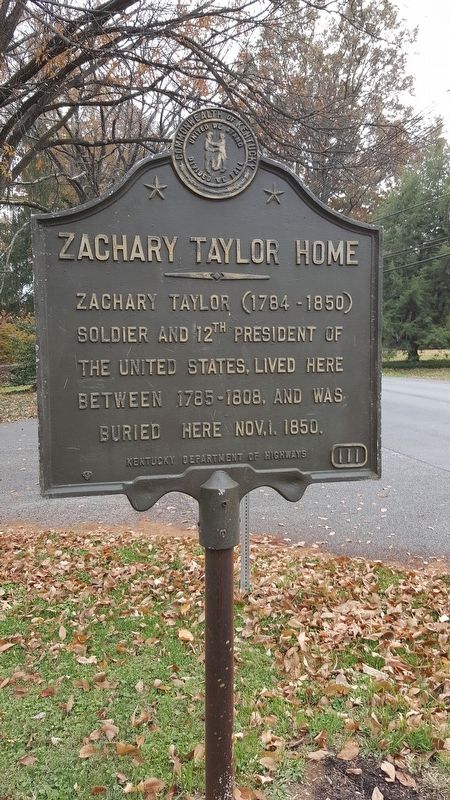
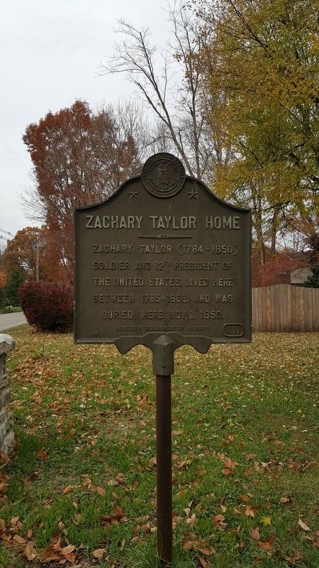
Zachary Taylor Home
Zachary Taylor (1784 - 1850)
Erected by Kentucky Department of Highways. (Marker Number 111.)
Topics and series. This historical marker is listed in this topic list: Government & Politics. In addition, it is included in the Former U.S. Presidents: #12 Zachary Taylor series list. A significant historical date for this entry is October 1, 1850.
Location. 38° 16.695′ N, 85° 38.916′ W. Marker is in Louisville, Kentucky, in Jefferson County. Marker is at the intersection of Blankenbaker Lane and Apache Road on Blankenbaker Lane. Touch for map. Marker is in this post office area: Louisville KY 40207, United States of America. Touch for directions.
Other nearby markers. At least 8 other markers are within walking distance of this marker. A different marker also named Zachary Taylor Home (about 500 feet away, measured in a direct line); Locust Grove (approx. 0.3 miles away); First Marine Division Memorial (approx. 0.4 miles away); U.S.S. Canberra CA-70 (approx. 0.4 miles away); World War II 75th Division Memorial (approx. 0.4 miles away); Address by President Lincoln (approx. 0.4 miles away); Zachary Taylor National Cemetery (approx. 0.4 miles away); Col. Richard Taylor (1744-1829)/George Rudy (1744-1806) (approx. 0.6 miles away). Touch for a list and map of all markers in Louisville.
Also see . . . Zachary Taylor - The White House. (Submitted on January 16, 2017, by Bill Pfingsten of Bel Air, Maryland.)
Credits. This page was last revised on January 16, 2017. It was originally submitted on January 15, 2017, by Pat Filippone of Stockton, California. This page has been viewed 508 times since then and 29 times this year. Photos: 1, 2. submitted on January 15, 2017, by Pat Filippone of Stockton, California. • Bill Pfingsten was the editor who published this page.

