Jackson in Clarke County, Alabama — The American South (East South Central)
City of Jackson
Side 1
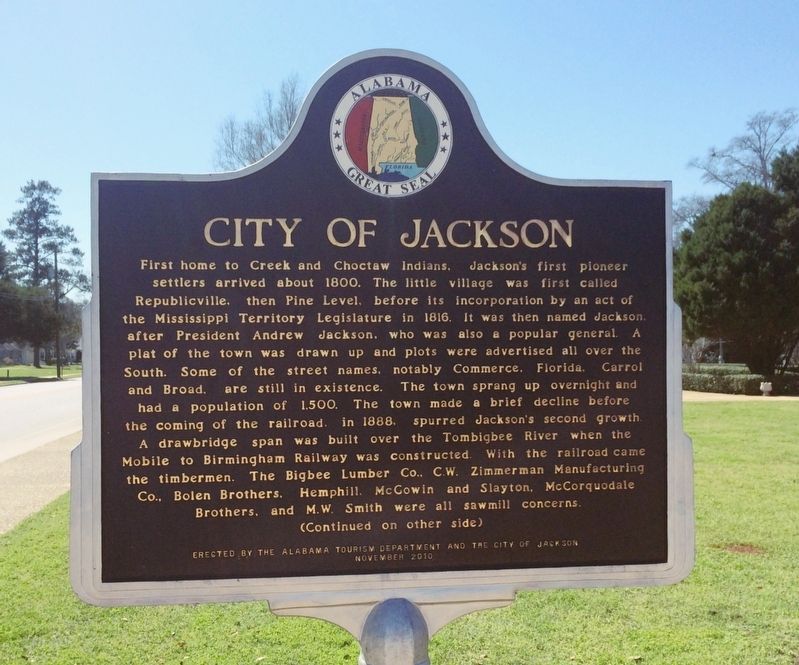
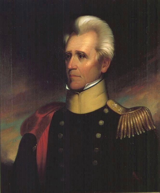
First home of Creek and Choctaw Indians, Jackson’s first pioneer settlers arrived about 1800. The little village was first called Republicville, then Pine Level, before its incorporation by an act of the Mississippi Territory Legislature in 1816. It was then named Jackson, after President Andrew Jackson, who was also a popular general. A plat of the town was drawn up and plots were advertised all over the South. Some of the street names, notably Commerce, Florida, Carrol and Broad, are still in existence. The town sprang up overnight and had a population of 1,500. The town made a brief decline before the coming of the railroad, in 1888, spurred Jackson’s second growth. A drawbridge span was built over the Tombigbee River when the Mobile to Birmingham Railway was constructed. With the railroad came the timbermen. The Bigbee Lumber Co., C. W. Zimmerman Manufacturing Co., Bolen Brothers, Hemphill, McGowin and Slayton, McCorquodale Brothers, and M. W. Smith were all sawmill concerns.
Side 2
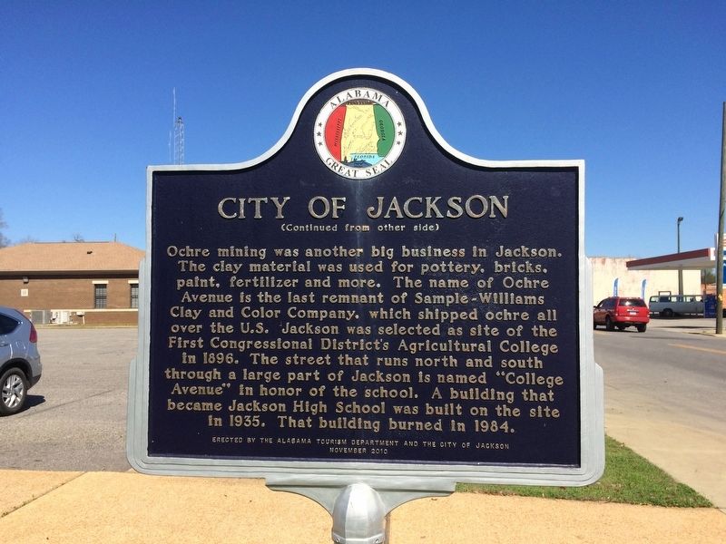
Ochre Mining was another big business in Jackson. The clay material was used for pottery, bricks, paint, fertilizer and more. The name of Ochre Avenue is the last remnant of Sample-Williams Clay and Color Company, which shipped ochre all over the U. S. Jackson was selected as site of the First Congressional District’s Agricultural College in 1896. The street that runs north and south through a large part of Jackson is named “College Avenue” in honor of the school. A building that became Jackson High School was built on the site in 1935. That building burned in 1984.
Erected 2010 by the Alabama Tourism Department and the City of Jackson.
Topics and series. This historical marker is listed in these topic lists: Education • Horticulture & Forestry • Industry & Commerce • Settlements & Settlers. In addition, it is included in the Former U.S. Presidents: #07 Andrew Jackson series list. A significant historical year for this entry is 1800.
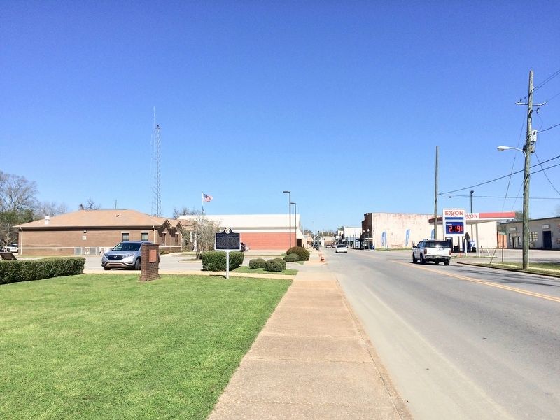
Location. 31° 30.465′ N, 87° 53.753′ W. Marker is in Jackson, Alabama, in Clarke County. Marker is at the intersection of Commerce Street (Alabama Route 177) and Magnolia Drive, on the right when traveling west on Commerce Street. Located in front of Jackson City Hall. Touch for map. Marker is at or near this postal address: 350 Commerce Street, Jackson AL 36545, United States of America. Touch for directions.
Other nearby markers. At least 8 other markers are within 5 miles of this marker, measured as the crow flies. Jackson (here, next to this marker); CSA Brooke Cannon S-96 (a few steps from this marker); The Clarke County War Memorial (within shouting distance of this marker); First District Agricultural College and Experiment Station (approx. 0.4 miles away); Kimbell House (approx. 1˝ miles away); Jackson Prisoner of War Camp (approx. 1.7 miles away); The Taylor House (approx. 3.6 miles away); Central Salt Works (approx. 4.8 miles away). Touch for a list and map of all markers in Jackson.
Also see . . . Encyclopedia of Alabama article on Jackson, Alabama. (Submitted on February 26, 2017, by Mark Hilton of Montgomery, Alabama.)
Credits. This page was last revised on July 25, 2018. It was originally submitted on February 26, 2017, by Mark Hilton of Montgomery, Alabama. This page has been viewed 546 times since then and 50 times this year. Photos: 1, 2, 3, 4, 5. submitted on February 26, 2017, by Mark Hilton of Montgomery, Alabama.


