Near Jackson in Clarke County, Alabama — The American South (East South Central)
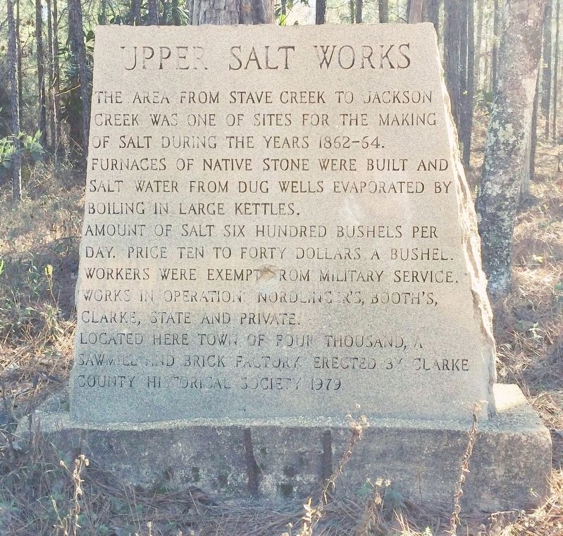
Upper Salt Works
Furnaces of native stone were built and salt water from dug wells evaporated by boiling in large kettles.
Amount of salt six hundred bushels per day. Price ten to forty dollars a bushel. Workers were exempt from military service. Works in operation: Nordlinger's, Booth's, Clarke, State and private.
Located here town of four thousand, a saw mill and brick factory.
Erected 1979 by Clarke County Historical Society.
Topics. This historical marker is listed in these topic lists: Industry & Commerce • Notable Places • Settlements & Settlers.
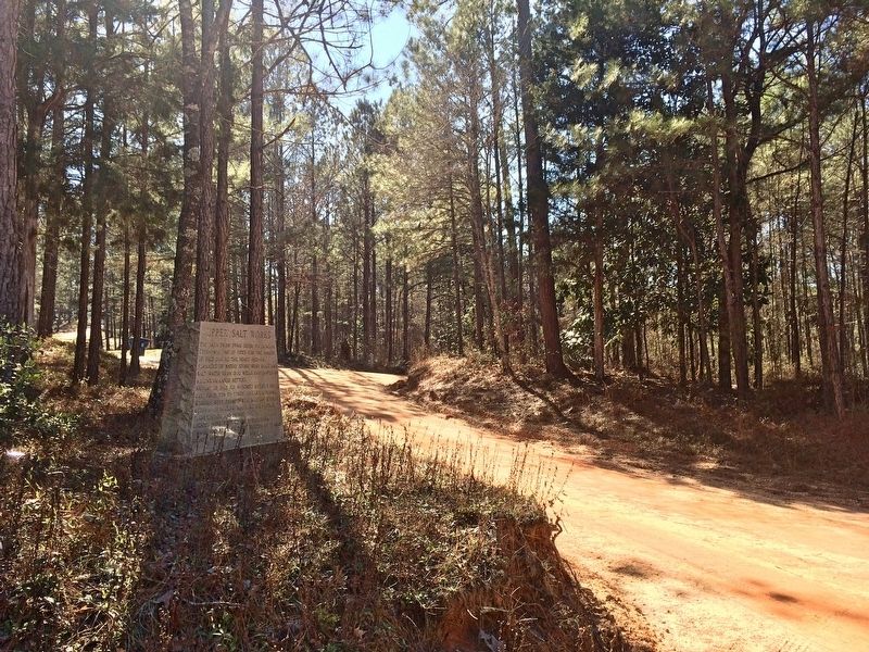
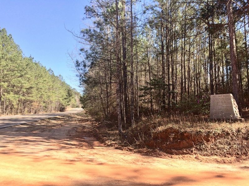
Location. 31° 35.141′ N, 87° 57.753′ W. Marker is near Jackson, Alabama, in Clarke County. Marker is at the intersection of Alabama Route 69 and Bolen Town Road, on the right when traveling south on State Route 69. Touch for map. Marker is in this post office area: Jackson AL 36545, United States of America. Touch for directions.
Other nearby markers. At least 8 other markers are within 7 miles of this marker, measured as the crow flies. Union Methodist Church (approx. 5.3 miles away); The Taylor House (approx. 5.4 miles away); Jackson Prisoner of War Camp (approx. 5.6 miles away); Kimbell House (approx. 5.6 miles away); Old St. Stephens Masonic Lodge No. 9 (1821-1834)/St. Stephens Lodge No. 81 (approx. 6.3 miles away); First District Agricultural College and Experiment Station (approx. 6.4 miles away); Fort Landrum Site (approx. 6.4 miles away); CSA Brooke Cannon S-96 (approx. 6.7 miles away). Touch for a list and map of all markers in Jackson.
Also see . . . Clarke County Historical Society article on Salt Works. (Submitted on February 26, 2017, by Mark Hilton of Montgomery, Alabama.)
Credits. This page was last revised on February 26, 2017. It was originally submitted on February 26, 2017, by Mark Hilton of Montgomery, Alabama. This page has been viewed 663 times since then and 44 times this year. Photos: 1, 2, 3. submitted on February 26, 2017, by Mark Hilton of Montgomery, Alabama.


