Pascagoula in Jackson County, Mississippi — The American South (East South Central)
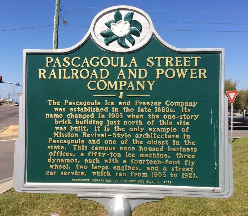
Pascagoula Street Railroad and Power Company
Erected 2012 by the Mississippi Department of Archives and History.
Topics and series. This historical marker is listed in these topic lists: Architecture • Industry & Commerce • Railroads & Streetcars. In addition, it is included in the Mississippi State Historical Marker Program series list. A significant historical year for this entry is 1903.
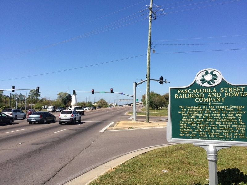
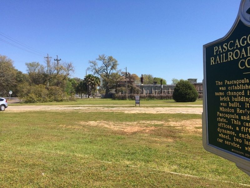
Location. 30° 22.266′ N, 88° 33.24′ W. Marker is in Pascagoula, Mississippi, in Jackson County. Marker is at the intersection of Denny Avenue (U.S. 90) and Pascagoula Street, on the right when traveling west on Denny Avenue. Touch for map. Marker is at or near this postal address: Denny Avenue, Pascagoula MS 39567, United States of America. Touch for directions.
Other nearby markers. At least 8 other markers are within walking distance of this marker. Round Island Lighthouse (about 700 feet away, measured in a direct line); a different marker also named Round Island Lighthouse (about 700 feet away); a different marker also named Round Island Lighthouse (about 700 feet away); Pascagoula Fire Fighters (approx. 0.3 miles away); Pascagoula River Basin Ecosystem (approx. 0.3 miles away); Captain H.H. Colle House (approx. 0.4 miles away); Dr. Joseph A. Tabor House (approx. 0.4 miles away); Colle Company Housing (approx. 0.4 miles away). Touch for a list and map of all markers in Pascagoula.

© Cc By-sa 3.0, September 15, 2012
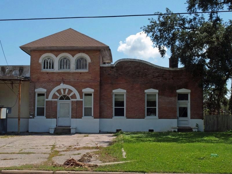
4. Former Pascagoula Street Railroad and Power Company building.
This distinctive architecture portion of the historic Pascagoula Ice House will remain and be sold as part of a three acre development. The left portion, only partly shown to the left, is being torn down.
Credits. This page was last revised on March 26, 2017. It was originally submitted on March 23, 2017, by Mark Hilton of Montgomery, Alabama. This page has been viewed 331 times since then and 38 times this year. Photos: 1, 2, 3, 4. submitted on March 23, 2017, by Mark Hilton of Montgomery, Alabama.


