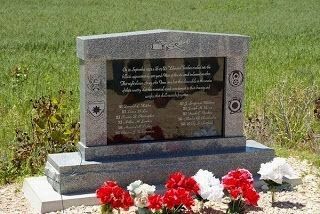
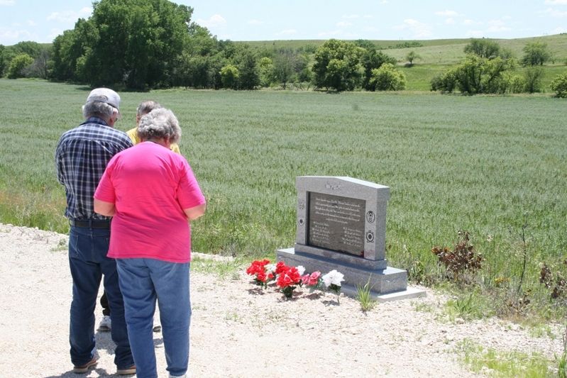
B-24 Bomber Crash Memorial
Flight Officer/Lieutenant Donald L. Kidder • Flight Officer/Lieutenant J. Singleton Waldrop • First Lieutenant Larue B. Lee • Second Lieutenant Joseph H. Beves • Second Lieutenant Cleatus B. Christopher • Second Lieutenant Frank C. Fischer • Second Lieutenant Arthur H. Lamker • Sergeant Marlin G. Chamberlin • Sergeant Howard R. Eicher • Sergeant Bobby S. Sanford • Sergeant Chester J. Urbanowicz
Dedicated this Day 3 April 2004
Erected 2004 by Osborne County.
Topics. This memorial is listed in these topic lists: Air & Space • Disasters • Patriots & Patriotism • War, World II.
Location. 39° 13.617′ N, 98° 46.467′ W. Marker is near Waldo, Kansas, in Russell County. Memorial is on South 152nd Avenue, half a mile south of West 230th Drive and South 152nd Avenue, on the left when traveling north. Touch for map.
More about this memorial. Memorial is located in Covert Township of Osborne County, Kansas. Waldo is the nearest town. To get to the site from Waldo, start at US Hwy 281 & Main Street intersection. head north one mile, then drive 1.5 miles east on West 300th Drive, then turn left (north) on South 150th Avenue and drive 4 miles north to the former Duffy One-room Frame Schoolhouse. Continue north two miles, follow road west .25 miles, then back north 1.25 miles. Memorial is on the west side of the road. From the town of Luray, Kansas, head north on US-281 Highway for five miles. Turn left (west) on West 260th Drive for four miles. Turn right (north) on South 150th Drive for 2.5 miles.
Regarding B-24 Bomber Crash Memorial. On September 22, 1943 at 10:30 PM, amid severe rain and electrical storms, U.S. Army Air Corps B-24D Liberator #42-40354 with 11 personnel onboard became lost during a flight from Blythe, California, to Topeka, Kansas. Flying north at a very low altitude up the narrow and twisting Wolf Creek valley in Covert Township, southern Osborne County, Kansas, the pilot never saw the dark hillside until it was too late . . . .
The tragedy was seen and heard for miles around and suddenly World War II was no longer just a story in the papers or a movie at the theater. The Army moved in and due to rules of wartime secrecy hushed up the incident, asking patriotic locals not to discuss the crash. For 60 years they kept their word.
The story was rediscovered in the summer of 2003 and local residents broke their years of silence on the matter. Family members of the 11 personnel were traced, and it was determined that the memory of those servicemen who gave their lives in the service of their country should never be forgotten again.
A granite monument for the crash site was paid for with private donations and on April 3, 2004, a dedication was held with several relatives of the crash victims in attendance.
Credits. This page was last revised on May 2, 2017. It was originally submitted on April 17, 2017, by Von Rothenberger of Lucas, Kansas. This page has been viewed 1,841 times since then and 127 times this year. Last updated on April 27, 2017, by Von Rothenberger of Lucas, Kansas. Photos: 1, 2. submitted on April 17, 2017, by Von Rothenberger of Lucas, Kansas. • Bill Pfingsten was the editor who published this page.

