Pittsford in Rutland County, Vermont — The American Northeast (New England)
Pittsford's Iron Industry
Side 1
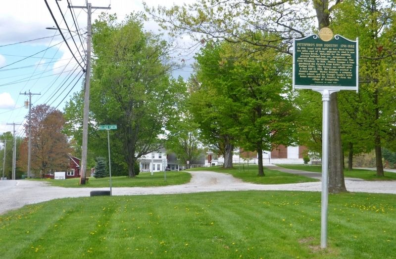
In 1791, Israel Keith built an iron blast furnace two miles east of here, adjacent to what is now Furnace Brook. Materials for the smelting process included iron ore, manganese, and charcoal from Chittenden, with limestone flux from Pittsford. In 1826, Simeon Granger & Sons purchased the furnace from Keiths successor, Nathan Gibbs. The furnace was rebuilt after a fire and in 1829, the Grangers erected a foundry nearby. Worker housing, a company store, school, and the Granger familys brick house surrounded the foundry to form the village of Grangerville.
Side 2
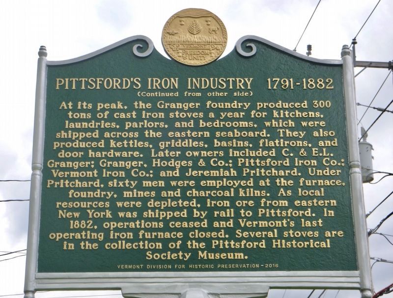
At its peak, the Granger foundry produced 300 tons of cast iron stoves a year for kitchens, laundries, parlors, and bedrooms, which were shipped across the eastern seaboard. They also produced kettles, griddles, basins, flatirons, and door hardware. Later owners included C. & E.L. Granger; Granger, Hodges & Co.; Pittsford Iron Co.; Vermont Iron Co.; and Jeremiah Pritchard. Under Pritchard, sixty men were employed at the furnace, foundry, mines and charcoal kilns. As local resources were depleted, iron ore from eastern New York was shipped by rail to Pittsford. In 1882, operations ceased and Vermont's last operating iron furnace closed. Several stoves are in the collection of the Pittsford Historical Society Museum.
Erected
Topics. This historical marker is listed in this topic list: Industry & Commerce. A significant historical year for this entry is 1791.
Location. 43° 42.453′ N, 73° 1.68′ W. Marker is in Pittsford, Vermont, in Rutland County. Marker is on Vermont Route 7, on the right when traveling north. North End of the Town Green on Route 7. Touch for map. Marker is in this post office area: Pittsford VT 05763, United States of America. Touch for directions.
Other nearby markers. At least 8 other markers are within 4 miles of this marker, measured as the crow flies. The Vermont Sanatorium (approx. ¾ mile away); Kendrick Dam, Pond, Mill, and Ice House (approx. 1.1 miles away); Hammond Covered Bridge (approx. 1.6 miles away); Fort Vengeance (approx. 2.9 miles away); Vermont Marble Company (approx. 3.1 miles away); Proctor (VT) War Memorial (approx. 3.2 miles away); John Sunderland (approx. 3.2 miles away); Otter Creek (approx. 3.2 miles away). Touch for a list and map of all markers in Pittsford.
Credits. This page was last revised on May 11, 2017. It was originally submitted on May 10, 2017, by Dennis Gilkenson of Saxtons River, Vermont. This page has been viewed 506 times since then and 66 times this year. Photos: 1, 2, 3. submitted on May 10, 2017, by Dennis Gilkenson of Saxtons River, Vermont. • Bill Pfingsten was the editor who published this page.


