De Kalb in St. Lawrence County, New York — The American Northeast (Mid-Atlantic)
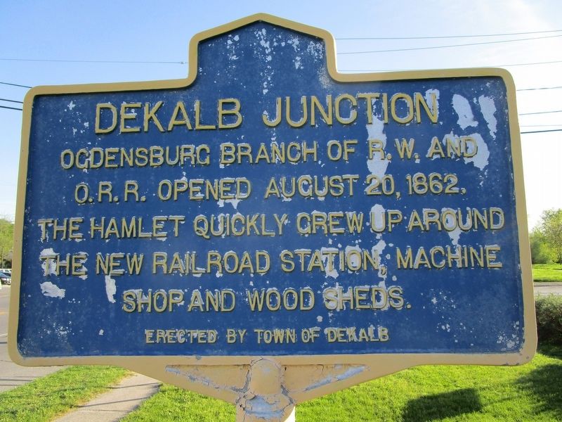
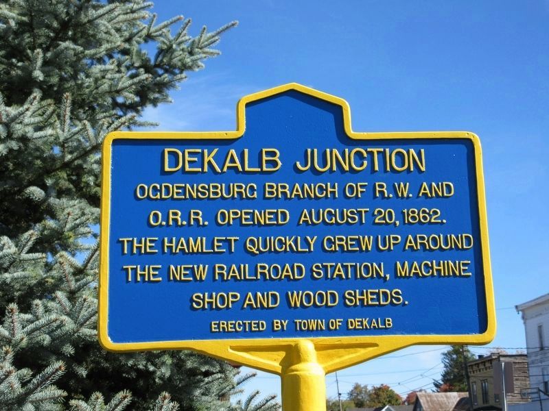
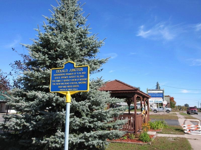
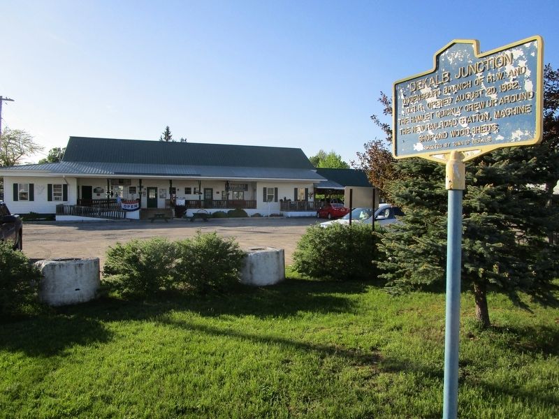
DeKalb Junction
Ogdensburg branch of R.W. and
O.R.R. opened August 20, 1862.
Hamlet quickly grew up around
the new railroad station, machine
shop and wood sheds.
Erected by Town of DeKalb.
Topics. This historical marker is listed in these topic lists: Railroads & Streetcars • Settlements & Settlers. A significant historical date for this entry is August 20, 1862.
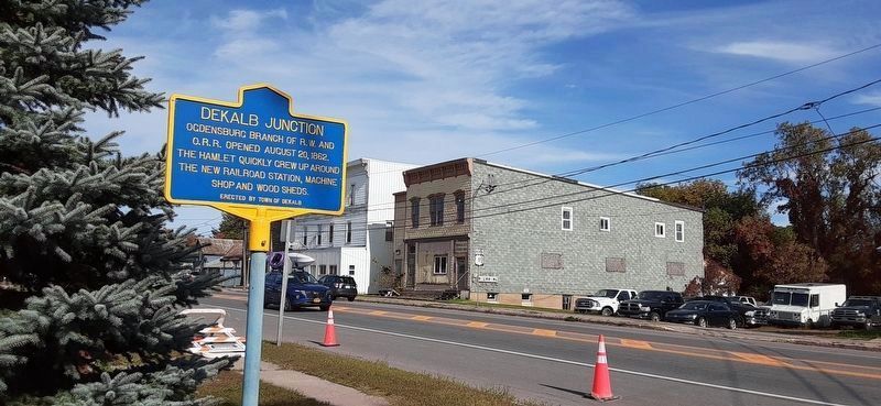
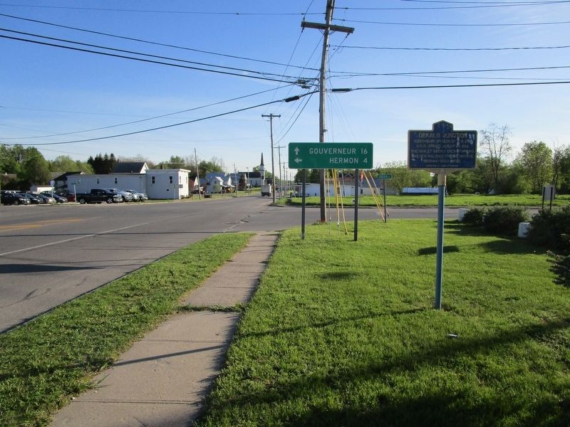
Location. 44° 30.329′ N, 75° 16.417′ W. Marker is in De Kalb, New York, in St. Lawrence County. Marker is at the intersection of U.S. 11 and County Route 17, on the right when traveling south on U.S. 11. The marker fronts the parking lot for the Dekalb Clinic. County Road 17 is marked Green Rd at US 11, but Google Maps labels it County Road 107 at the intersection. Touch for map. Marker is at or near this postal address: 2924 County Rte 17, De Kalb Junction NY 13630, United States of America. Touch for directions.
Other nearby markers. At least 8 other markers are within 8 miles of this marker, measured as the crow flies. The St. Lawrence Plain (approx. 2.2 miles away); Cooper’s Rock (approx. 3.3 miles away); DeKalb Village (approx. 3.4 miles away); War of 1812 (approx. 3.4 miles away); Rensselaer Falls War Memorial (approx. 6.3 miles away); Silas Wright (approx. 7.9 miles away); Canton's Islands / Falls Island in 1898 (approx. 7.9 miles away); The King Iron Bowstring Bridge (approx. 7.9 miles away). Touch for a list and map of all markers in De Kalb.
Also see . . . Rome, Watertown and Ogdensburg Railroad - Wikipedia. (Submitted on May 20, 2017, by Anton Schwarzmueller of Wilson, New York.)
Credits. This page was last revised on October 4, 2022. It was originally submitted on May 20, 2017, by Anton Schwarzmueller of Wilson, New York. This page has been viewed 528 times since then and 27 times this year. Photos: 1. submitted on May 20, 2017, by Anton Schwarzmueller of Wilson, New York. 2, 3. submitted on October 3, 2022, by Mira Earls of Cortland, New York. 4. submitted on May 20, 2017, by Anton Schwarzmueller of Wilson, New York. 5. submitted on October 3, 2022, by Mira Earls of Cortland, New York. 6. submitted on May 20, 2017, by Anton Schwarzmueller of Wilson, New York.
