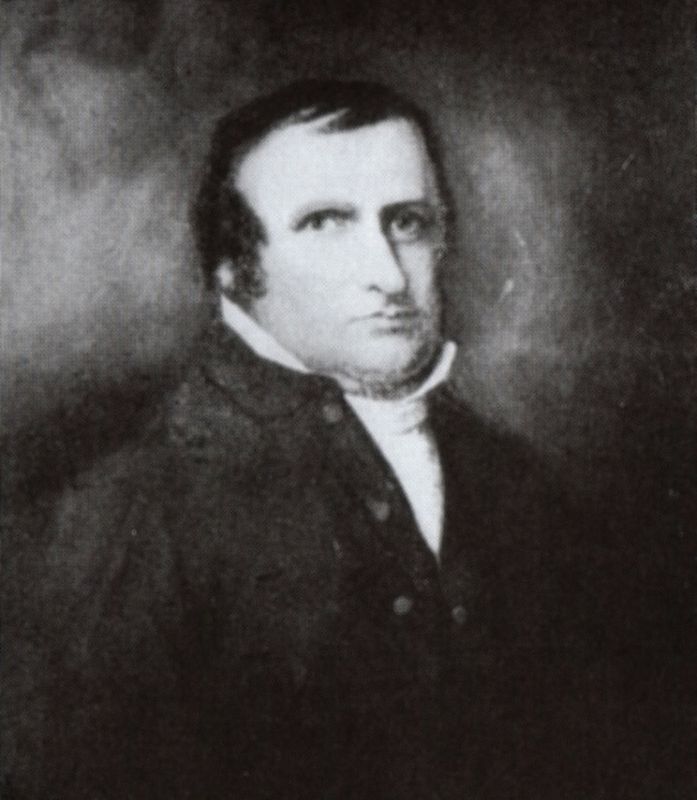
Near Crab Orchard in Lincoln County, Kentucky — The American South (East South Central)
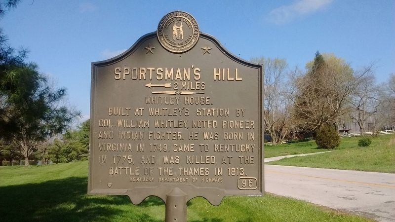
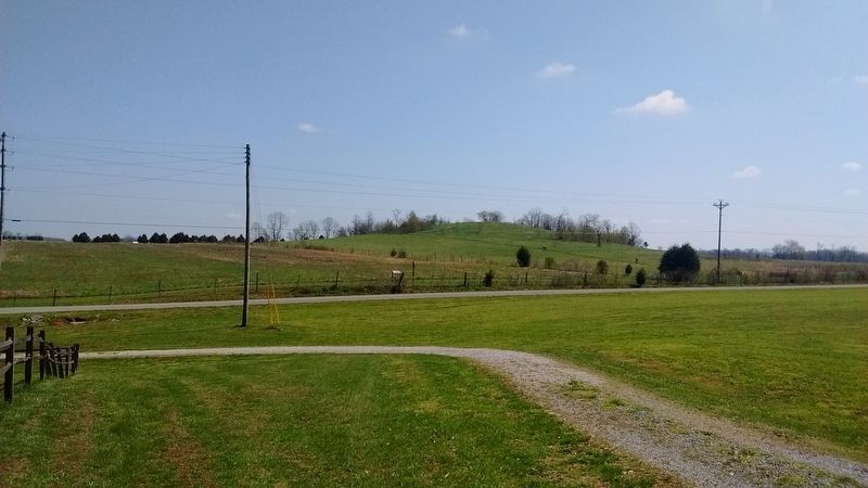
Sportsman's Hill
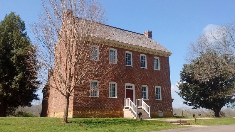
Whitley House
Erected by Kentucky Department of Highways. (Marker Number 96.)
Topics. This historical marker is listed in these topic lists: Patriots & Patriotism • Settlements & Settlers • War of 1812. A significant historical year for this entry is 1749.
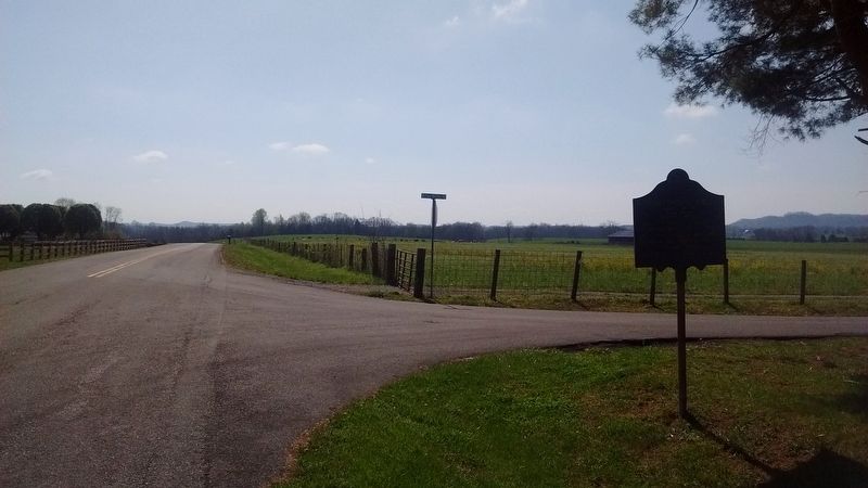
Location. 37° 28.55′ N, 84° 32.55′ W. Marker is near Crab Orchard, Kentucky, in Lincoln County. Marker is at the intersection of County Route 1369 and William Whitley Road, on the left when traveling west on County Route 1369. Touch for map. Marker is in this post office area: Crab Orchard KY 40419, United States of America. Touch for directions.
Other nearby markers. At least 8 other markers are within walking distance of this marker. A View from Sportsman’s Hill (approx. half a mile away); Where Racing Turned Around (approx. half a mile away); The Legacy of Sportsman’s Hill at Crab Orchard (approx. 0.6 miles away); Beginning of Horse Racing in Kentucky (approx. 0.6 miles away); Celebration (approx. 0.6 miles away); A Little Bit to Eat at the Race (approx. 0.6 miles away); Sportsman's Hill / Whitley House - 1785 (approx. 0.6 miles away); Sportsman Hill (approx. 0.6 miles away). Touch for a list and map of all markers in Crab Orchard.
Also see . . . William Whitley. (Submitted on May 26, 2017, by Tom Bosse of Jefferson City, Tennessee.)
Credits. This page was last revised on November 3, 2020. It was originally submitted on May 26, 2017, by Tom Bosse of Jefferson City, Tennessee. This page has been viewed 362 times since then and 53 times this year. Photos: 1, 2, 3, 4, 5. submitted on May 26, 2017, by Tom Bosse of Jefferson City, Tennessee. • Bill Pfingsten was the editor who published this page.
