Spencer in Rowan County, North Carolina — The American South (South Atlantic)
Town of Spencer
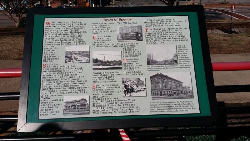
Southern Railway subdivided approximately 85 acres of surrounding land into 500 lots that were sold to local residents and business owners for $100 each. The community, like Spencer Shops, was named for Samuel Spencer. By 1901, the town had grown to 625 residents. Incorporated in 1905, Spencer flourished, growing to more than 1,900 residents by 1910. A 48-bedroom YMCA accommodated workers own homes or those traveling by train from other terminals. The YMCA was torn down in the 1960s to make way for the current town hall.
Until 1938, a trolley line operated from the original Spencer Shops entrance to downtown Salisbury, giving workers additional access to the surrounding community.
Town life centered around the park built in the middle of town, featuring a baseball diamond and bandstand. In 1963, the park was converted into the Park Plaza shopping center.
Spencer's small town businesses thrived due to their relationships with railroad employees. Thomas Stanback, a worker at the Rowan Drug Store in Spencer, invented Stanback Headache Powders in 1911, providing samples to railroad workers. The Spencer Watchmaking Company trained 1,300 students over 4 decades in business, servicing railroad watches worn by many Southern employees.
The closure of Spencer Shops in the 1960s and 1970s transformed downtown, as railroad workers and their families moved away and the newly constructed Interstate 85 allowed travelers to bypass the small town.
(caption 1)
View of Fifth Street and Carolina Avenue. The large house on the right was used as a boarding house for employees and visitors, and still stands today. Spencer Lutheran Church, seen on the left, later constructed a new sancturary resembling the roundhouse.
(caption 2)
This view of Fifth Street shows the Wachovia Bank Building. Several stores were located on the first floor, and the Masons used the third floor for a temple. Other Spencer businesses included drugstores, livery and feed, furniture, grocery, clothing, and women's hats.
Erected by NC Transportation Museum.
Topics. This historical marker is listed in these topic lists: Industry & Commerce • Railroads & Streetcars. A significant historical year for this entry is 1994.
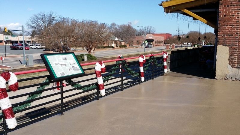
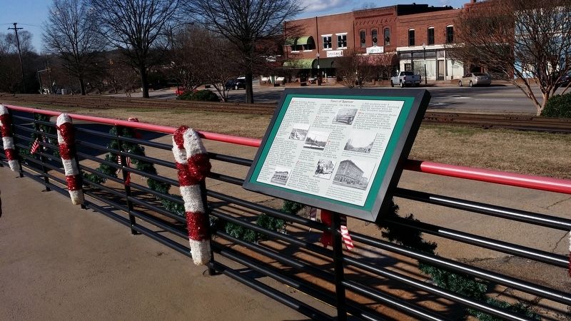
Location. 35° 41.26′ N, 80° 26.078′ W. Marker is in Spencer, North Carolina, in Rowan County. Marker can be reached from South Salisbury Avenue (U.S. 29). Marker is located on the grounds of the NC Transportation Museum. Touch for map. Marker is at or near this postal address: 411 S Salisbury Ave, Spencer, NC 28159, Spencer NC 28159, United States of America. Touch for directions.
Other nearby markers. At least 8 other markers are within walking distance of this marker. The Muscle of Spencer Shops (a few steps from this marker); Historic Spencer Shops (about 300 feet away, measured in a direct line); Norfolk & Western Caboose 555012 (about 500 feet away); Spencer Shops Roundhouse and Turntable (about 500 feet away); Food Lion LLC (about 600 feet away); Food Lion Trailer No. 893615 (about 600 feet away); Southern Public Utilities Co. 1927 Streetcar #85 (about 600 feet away); Magnetic Signal Company (about 700 feet away). Touch for a list and map of all markers in Spencer.
Also see . . . NC Transportation Museum. (Submitted on May 27, 2017, by Michael C. Wilcox of Winston-Salem, North Carolina.)
Credits. This page was last revised on May 27, 2017. It was originally submitted on May 27, 2017, by Michael C. Wilcox of Winston-Salem, North Carolina. This page has been viewed 357 times since then and 85 times this year. Photos: 1, 2, 3. submitted on May 27, 2017, by Michael C. Wilcox of Winston-Salem, North Carolina.


