Parris Island in Beaufort County, South Carolina — The American South (South Atlantic)
Capt. Brodstrom Marker U.S.M.C.
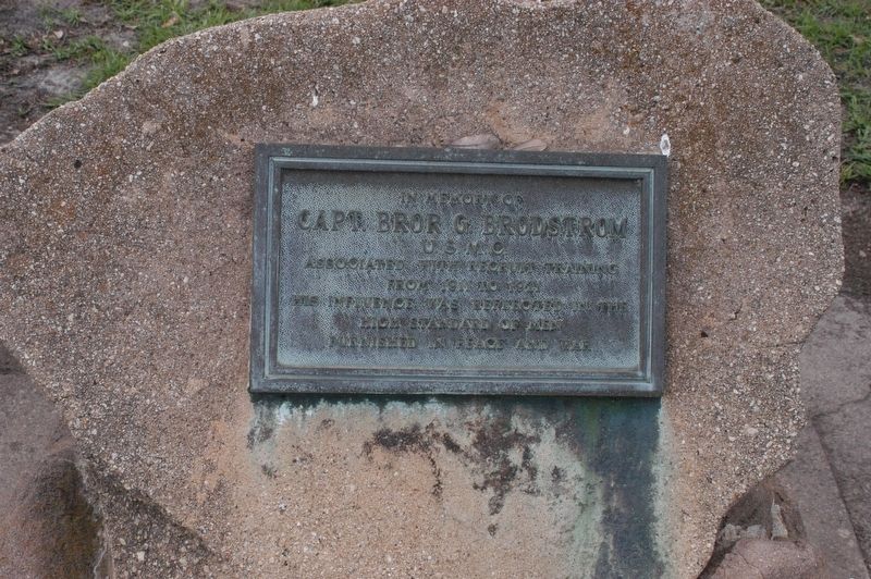
Photographed by James R. Murray, May 27, 2017
1. Capt. Brodstrom Marker U.S.M.C. Marker
Topics. This memorial is listed in this topic list: War, World I.
Location. 32° 20.994′ N, 80° 40.314′ W. Memorial is on Parris Island, South Carolina, in Beaufort County. It is at the intersection of Mexico Street and Tripoli Street, on the left on Mexico Street. Marker is one of two located next to the gazebo located directly across from the Commanding General's quarters (Quarters 1) at Parris Island. Touch for map. Memorial is in this post office area: Parris Island SC 29905, United States of America. Touch for directions.

Regionally, this memorial is in the Lowcountry and on the Sea Islands. It is also in the American South, specifically in the Deep South, and on the Eastern Seaboard. Globally, it is in the North Atlantic Region, North America, the Western Hemisphere, the Western World, and the Anglosphere. Historically, it finds itself in what was once New Spain, the territory
this page online
Other nearby markers. At least 8 other markers are within 3 miles of this marker, measured as the crow flies: Plane Crash Memorial (a few steps from this marker); Barrow Hall (approx. 0.2 miles away); Japanese 75mm Field Gun (approx. 0.3 miles away); Peatross Parade Deck (approx. 0.6 miles away); Uncommon Valor (approx. 0.6 miles away); To Purple Heart Recipients (approx. ¾ mile away); The Historic Union Church (approx. 2.2 miles away); Blue Channel Corporation (approx. 2.3 miles away). Touch for a list and map of all markers in Parris Island.
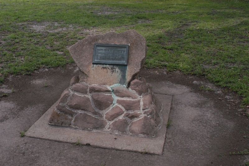
Photographed by James R. Murray, May 28, 2017
2. Capt. Brodstrom Marker U.S.M.C. Marker
Credits. This page was last revised on June 4, 2017. It was originally submitted on May 28, 2017, by James R. Murray of Elkton, Florida. This page has been viewed 451 times since then and 27 times this year. Photos: 1, 2. submitted on May 28, 2017, by James R. Murray of Elkton, Florida. • Kevin W. was the editor who published this page.
