Fort Monroe in Hampton, Virginia — The American South (Mid-Atlantic)
Fort Monroe History
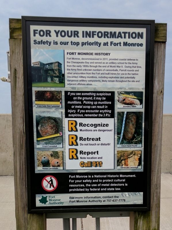
For Your Information
Safety is our top priority at Fort Monroe
Fort Monroe History
Fort Monroe, decommissioned in 2011, provided coastal defense to the Chesapeake Bay and served as an artillery school for the Army from the early 1800s through the end of World War ll. During that time, the Army fired unknown numbers of cannonballs, Parrott rounds and other ammunition from the Fort and built mines for use in the harbor. Discarded military munitions, including explosives and potentially dangerous artillery components, likely remain throughout the site and adjacent offshore areas.
If you see something suspicious on the ground, it may be munitions. Picking up munitions or metal scrap can result in injury. If you encounter anything suspicious, remember the 3 R's:
Recognize
Munitions are dangerous!
Retreat
Do not touch or disturb!
Report
Note location and call 911
Fort Monroe is a National Historic Monument. For your safety and to protect cultural resources, the use of metal detectors is prohibited by federal and state law.
For more information, contact the Fort Monroe Authority at 757-637-7778
(captions)
4-Inch Solid Shot Cannonball
12-Inch Cannonball
Various Cannonballs
Incendiary Debris
8-Inch Parrott Round
Cannon and Cannonball
Erected by Fort Monroe Authority.
Topics. This historical marker is listed in this topic list: Forts and Castles. A significant historical year for this entry is 2011.
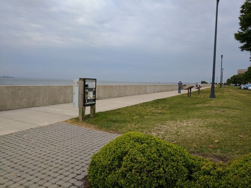
Location. 37° 0.065′ N, 76° 18.446′ W. Marker is in Hampton, Virginia. It is in Fort Monroe. Marker is on Fenwick Road east of Engineer Lane, on the right when traveling east. Touch for map. Marker is in this post office area: Fort Monroe VA 23651, United States of America. Touch for directions.
Other nearby markers. At least 8 other markers are within walking distance of this marker. Fort Monroe Seawall History (here, next to this marker); Engineer Wharf (a few steps from this marker); a different marker also named Fort Monroe Seawall History (a few steps from this marker); First Africans in Virginia (within shouting distance of this marker); Old Point Comfort Light (about 300 feet away, measured in a direct line); Notable Locations in the Hampton Roads (about 400 feet away); Retreat / Courtesies (about 400 feet away); "Ruth Window" (about 500 feet away). Touch for a list and map of all markers in Hampton.
Also see . . .
1. Fort Monroe National Monument, National Park Service. (Submitted on August 19, 2019.)
2. Fort Monroe (Stone Fort) National Register of Historic Places Registration Form. (Submitted on August 19, 2019.)
Credits. This page was last revised on February 1, 2023. It was originally submitted on May 30, 2017, by Bernard Fisher of Richmond, Virginia. This page has been viewed 235 times since then and 19 times this year. Photos: 1, 2. submitted on May 30, 2017, by Bernard Fisher of Richmond, Virginia.

