Near Earth in Lamb County, Texas — The American South (West South Central)
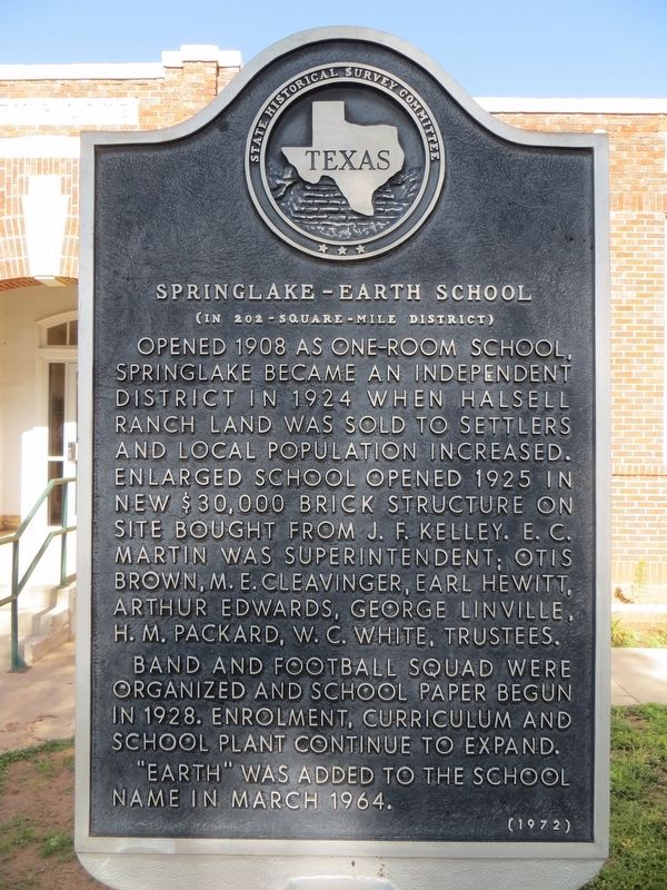
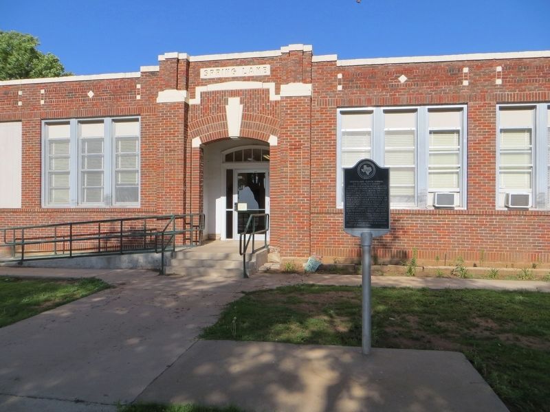
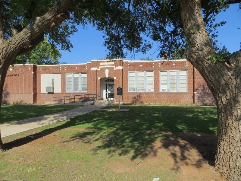
Springlake-Earth School
(in 202-Square-Mile District)
Band and football squad were organized and school paper begun in 1928. Enrollment, curriculum and school plant continue to expand.
"Earth" was added to the school name in March 1964.
Erected 1972 by State Historical Survey Committee. (Marker Number 5021.)
Topics. This historical marker is listed in this topic list: Education. A significant historical month for this entry is March 1964.
Location. 34° 15.65′ N, 102° 21.51′ W. Marker is near Earth, Texas, in Lamb County. Marker is at the intersection of Farm to Market Road 302 and Farm to Market Road 2901, on the left when traveling north on Highway 302. Touch for map. Marker is in this post office area: Earth TX 79031, United States of America. Touch for directions.
Other nearby markers. At least 8 other markers are within 9 miles of this marker, measured as the crow flies. Springlake Cemetery (approx. 1.7 miles away); Earth (approx. 3.4 miles away); Quanah Parker Trail (approx. 3˝ miles away); Spring Lake Pasture Division of the XIT Ranch (approx. 7.7 miles away); First Irrigation Well in Lamb County (approx. 8 miles away); Spring Lake (approx. 8.3 miles away); Lamb County Sand Hills (approx. 8.9 miles away); The J. W. Carter Family and the 7-Up Ranch (approx. 9 miles away). Touch for a list and map of all markers in Earth.
Credits. This page was last revised on June 17, 2017. It was originally submitted on June 17, 2017, by Bill Kirchner of Tucson, Arizona. This page has been viewed 360 times since then and 24 times this year. Photos: 1, 2, 3. submitted on June 17, 2017, by Bill Kirchner of Tucson, Arizona.


