Near Crosbyton in Crosby County, Texas — The American South (West South Central)
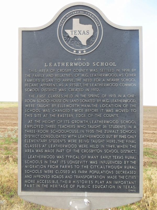
Site of Leatherwood School
The first classes, held in the spring of 1913 in a one-room schoolhouse on land donated by M. G. Leatherwood, were taught by Ellsworth Ham. The location of the school was changed twice before it was moved to this site at the eastern edge of the county.
At the height of its growth, Leatherwood School employed three teachers who taught 36 students in a three-room schoolhouse. In 1935 the Zumalt School District consolidated with Leatherwood, but by 1945 only elementary students were being taught here. The final classes at Leatherwood were held in 1949, when the area was made part of the Crosbyton School District.
Leatherwood was typical of many early Texas rural schools in that its longevity was influenced by the migration from farms to the city. Although rural schools were closed as farm populations decreased and improved roads and transportation made the cities more accessible, their histories play an important part in the heritage of public education in Texas.
Erected 1983 by Texas Historical Commission. (Marker Number 4822.)
Topics. This historical marker is listed in this topic list: Education. A significant historical year for this entry is 1898.
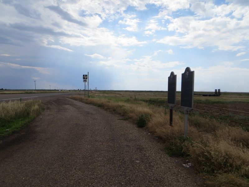
Location. 33° 41.032′ N, 101° 3.797′ W. Marker is near Crosbyton, Texas, in Crosby County. Marker is at the intersection of U.S. 82 and Farm to Market Road 836, on the right when traveling west on U.S. 82. Touch for map. Marker is in this post office area: Crosbyton TX 79322, United States of America. Touch for directions.
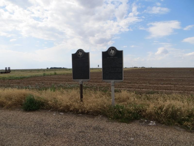
Other nearby markers. At least 8 other markers are within 7 miles of this marker, measured as the crow flies. Pansy Baptist Church (here, next to this marker); Marshall Clinton Formby, Jr. (approx. 3.1 miles away); a different marker also named Marshall Clinton Formby, Jr. (approx. 3.7 miles away); Old Dewey Lake (approx. 6.6 miles away); Two-Buckle Ranch Headquarters (approx. 6.6 miles away); Texas Ranger Campsite (approx. 6.6 miles away); Main Supply Camp on Historic Mackenzie Trail (approx. 6.6 miles away); Battle of the Freshwater Fork of the Brazos (approx. 6.6 miles away). Touch for a list and map of all markers in Crosbyton.
Credits. This page was last revised on June 27, 2017. It was originally submitted on June 27, 2017, by Bill Kirchner of Tucson, Arizona. This page has been viewed 721 times since then and 103 times this year. Photos: 1, 2, 3. submitted on June 27, 2017, by Bill Kirchner of Tucson, Arizona.


