Near Crosbyton in Crosby County, Texas — The American South (West South Central)
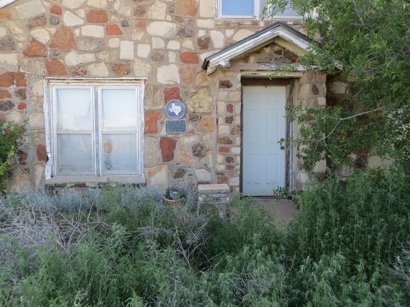
G. W. Smith Home

Photographed by Bill Kirchner, June 7, 2017
1. G. W. Smith Home Marker
Recorded Texas Historic Landmark
Erected 1967 by State Historical Survey Committee. (Marker Number 2089.)
Topics. This historical marker is listed in this topic list: Notable Buildings. A significant historical year for this entry is 1914.
Location. 33° 48.537′ N, 101° 12.33′ W. Marker is near Crosbyton, Texas, in Crosby County. It is on County Highway 211 0.4 miles south of County Highway 116, on the right when traveling south. Touch for map. Marker is in this post office area: Crosbyton TX 79322, United States of America. Touch for directions.

Regionally, this marker is on the South Plains. It is also on the American Great Plains and specifically on the Southern Plains. Globally, it is in North America, a Gulf of Mexico state, the Western Hemisphere, the Western World, and the Anglosphere. Historically, it finds itself in what was once New Spain, the Comanchería, the Republic of Texas, and one of the Confederate States of America.
Other nearby markers. At least 8 other markers are within 11 miles of this marker, measured as the crow flies: The Mount Blanco Community (approx. 2.4 miles away); Big Four School (approx. 5.3 miles away); Main Supply Camp on Historic Mackenzie Trail (approx. 10.1 miles away); Texas Ranger Campsite (approx. 10.1 miles away); Battle of the Freshwater Fork of the Brazos (approx. 10.1 miles away); Two-Buckle Ranch Headquarters (approx. 10.1 miles away); Old Dewey Lake (approx. 10.1 miles away); Silver Falls Pavilion (approx. 10.2 miles away). Touch for a list and map of all markers in Crosbyton.
this page online
Photographed by Bill Kirchner, June 7, 2017
2. G. W. Smith Home Marker

Photographed by Bill Kirchner, June 7, 2017
3. G. W. Smith Home
Credits. This page was last revised on June 27, 2017. It was originally submitted on June 27, 2017, by Bill Kirchner of Tucson, Arizona. This page has been viewed 593 times since then and 33 times this year. Photos: 1, 2, 3. submitted on June 27, 2017, by Bill Kirchner of Tucson, Arizona.
