Monroe in Ouachita Parish, Louisiana — The American South (West South Central)
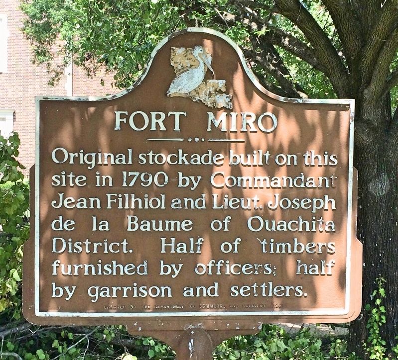
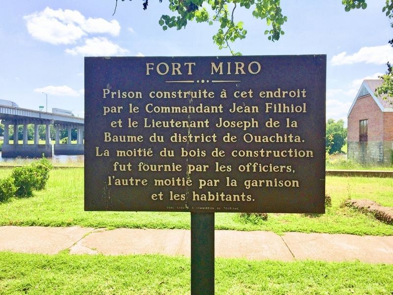
Fort Miro
Erected 1961 by the Department of Commerce and Industry.
Topics. This historical marker is listed in these topic lists: Forts and Castles • Settlements & Settlers. A significant historical year for this entry is 1790.
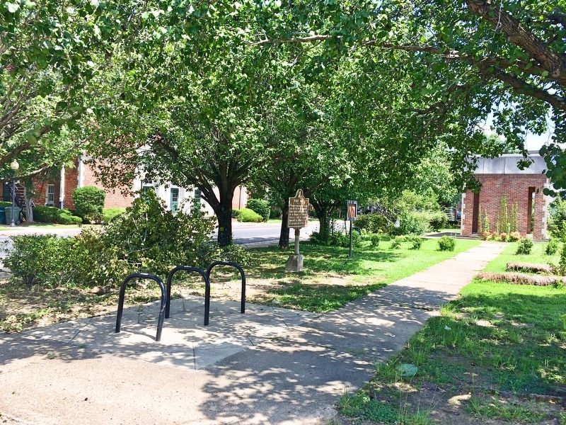
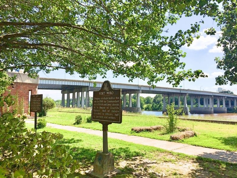
Location. 32° 29.829′ N, 92° 6.966′ W. Marker is in Monroe, Louisiana, in Ouachita Parish. Marker is on South Grand Street south of Calypso Street, on the right when traveling south. Along the Riverwalk. Touch for map. Marker is at or near this postal address: 501 South Grand Street, Monroe LA 71201, United States of America. Touch for directions.
Other nearby markers. At least 8 other markers are within walking distance of this marker. Mr. Jack Hayes / Mrs. Ann Stapp Hayes (a few steps from this marker); Ouachita Parish High School (a few steps from this marker); Operation Iraqi Freedom Memorial (about 700 feet away, measured in a direct line); Prairie des Canots Seat of Justice (about 700 feet away); St. Matthew Catholic Church (approx. 0.3 miles away); Don Juan Filhiol Historic Preservation District (approx. 0.3 miles away); Art Alley (approx. 0.4 miles away); Webb Pierce (approx. half a mile away). Touch for a list and map of all markers in Monroe.
Also see . . . Article about Fort Miro by KnowLouisiana (Louisiana Endowment for the Humanities). (Submitted on June 27, 2017, by Mark Hilton of Montgomery, Alabama.)
Credits. This page was last revised on June 27, 2017. It was originally submitted on June 27, 2017, by Mark Hilton of Montgomery, Alabama. This page has been viewed 1,095 times since then and 155 times this year. Photos: 1, 2, 3, 4. submitted on June 27, 2017, by Mark Hilton of Montgomery, Alabama.


