Near Honaker in Buchanan County, Virginia — The American South (Mid-Atlantic)
Buchanan County / Russell County
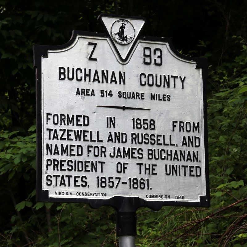
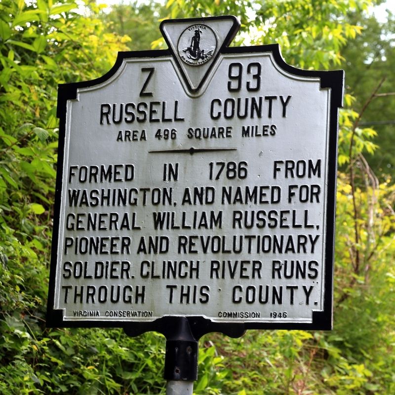
Area 514 Square Miles / Area 496 Square Miles
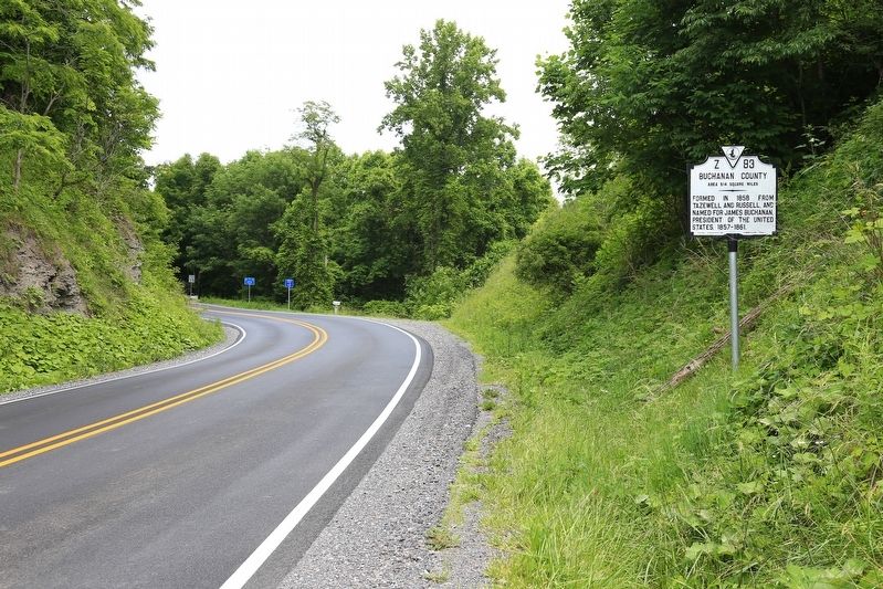
Buchanan County. Area 514 square miles. Formed in 1858 from Tazewell and Russell, and named for James Buchanan, President of the United States, 1857–1861.
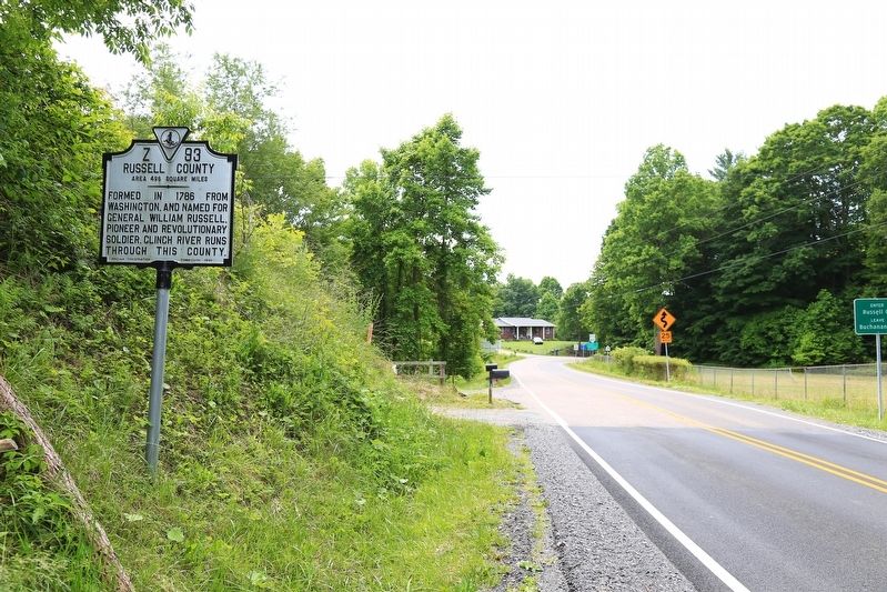
Russell County. Area 496 square miles. Formed in 1786 from Washington, and named for General William Russell, pioneer and Revolutionary Soldier. Clinch River runs through this county.
Erected 1946 by Virginia Conservation Commission. (Marker Number Z-93.)
Topics and series. This historical marker is listed in this topic list: Political Subdivisions. In addition, it is included in the Former U.S. Presidents: #15 James Buchanan, and the Virginia Department of Historic Resources (DHR) series lists. A significant historical year for this entry is 1858.
Location. 37° 3.945′ N, 82° 1.623′ W. Marker is near Honaker, Virginia, in Buchanan County. Marker is on Red Bud Highway (Virginia Route 80) just west of Chimney Rock Road, on the right when traveling west. Touch for map. Marker is at or near this postal address: 11187 Redbud Hwy, Honaker VA 24260, United States of America. Touch for directions.
Other nearby markers. At least 8 other markers are within 13 miles of this marker, measured as the crow flies. Helen Timmons Henderson (approx. 1.9 miles away); The Home and Grave of David Musick (approx. 2.2 miles away); Elk Garden Fort (approx. 9˝ miles away); Buchanan County / Tazewell County (approx. 10.3 miles away); Richlands (approx. 11.3 miles away); Smith’s Fort (approx. 11˝ miles away); Russell Courthouse (approx. 11.8 miles away); Frances Dickenson Scott Johnson (approx. 12.8 miles away).
Credits. This page was last revised on July 9, 2021. It was originally submitted on July 2, 2017, by J. J. Prats of Powell, Ohio. This page has been viewed 318 times since then and 33 times this year. Photos: 1, 2, 3, 4. submitted on July 2, 2017, by J. J. Prats of Powell, Ohio.


