Stanford in Lincoln County, Kentucky — The American South (East South Central)
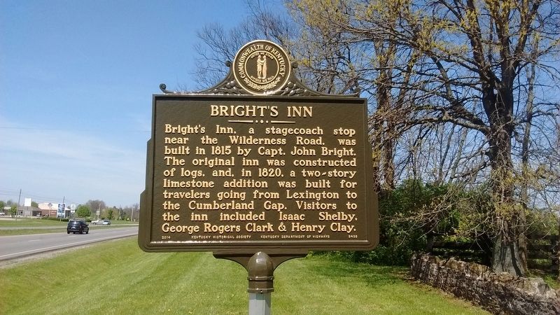
Bright's Inn
Erected 2014 by Kentucky Historical Society & Kentucky Department of Highways. (Marker Number 2433.)
Topics and series. This historical marker is listed in this topic list: Industry & Commerce. In addition, it is included in the Kentucky Historical Society series list. A significant historical year for this entry is 1815.
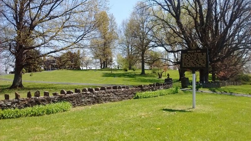
Location. 37° 32.868′ N, 84° 40.268′ W. Marker is in Stanford, Kentucky, in Lincoln County. Marker is at the intersection of Danville Road (County Route 300) and Wilderness Road (Kentucky Route 150) on Danville Road. Touch for map. Marker is at or near this postal address: 1210 Danville Road, Stanford KY 40484, United States of America. Touch for directions.
Other nearby markers. At least 8 other markers are within 2 miles of this marker, measured as the crow flies. Lt. Richard Caswell Saufley / Birthplace of Naval Aviation Pioneer (approx. 0.4 miles away); Alcorn Homestead / Sophia K. Alcorn (approx. one mile away); Logan's Station (approx. 1.2 miles away); History Written in Departures & Arrivals (approx. 1.3 miles away); Baughman Mill (approx. 1.3 miles away); Stanford Female College (approx. 1.3 miles away); Earliest Church (approx. 1.4 miles away); Kentucky's Oldest Main Street (approx. 1.4 miles away). Touch for a list and map of all markers in Stanford.
Also see . . . Bright's Inn. (Submitted on July 11, 2017, by Tom Bosse of Jefferson City, Tennessee.)
Credits. This page was last revised on July 12, 2017. It was originally submitted on July 11, 2017, by Tom Bosse of Jefferson City, Tennessee. This page has been viewed 512 times since then and 39 times this year. Photos: 1, 2, 3, 4, 5. submitted on July 11, 2017, by Tom Bosse of Jefferson City, Tennessee. • Bill Pfingsten was the editor who published this page.
