Stanford in Lincoln County, Kentucky — The American South (East South Central)
Lincoln County
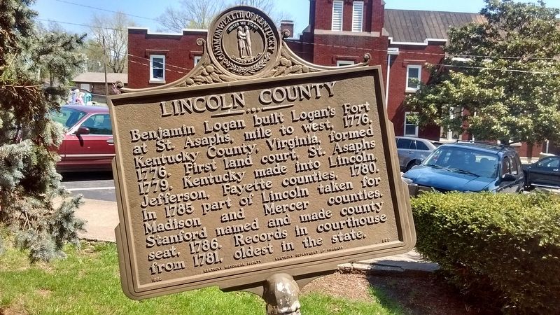
Photographed by Tom Bosse, April 12, 2017
1. Lincoln County Marker
Erected 1965 by Kentucky Historical Society & Kentucky Department of Highways. (Marker Number 860.)
Topics and series. This historical marker is listed in this topic list: Political Subdivisions. In addition, it is included in the Kentucky Historical Society series list. A significant historical year for this entry is 1776.
Location. 37° 31.78′ N, 84° 39.674′ W. Marker is in Stanford, Kentucky, in Lincoln County. It is at the intersection of 3rd Street and Main Street, on the left when traveling north on 3rd Street. Touch for map. Marker is in this post office area: Stanford KY 40484, United States of America. Touch for directions.

Regionally, this marker is in Kentucky’s The Knobs. It is also in the American South, specifically in the Upper South,
this page online
Other nearby markers. At least 8 other markers are within walking distance of this marker: Fortitude with Courage (here, next to this marker); Lincoln County Veterans Memorial (here, next to this marker); Revolutionary Soldiers (a few steps from this marker); County Named, 1780 (a few steps from this marker); Benjamin Logan (a few steps from this marker); Spanish American War Veterans Memorial (within shouting distance of this marker); Cherokees in Kentucky (within shouting distance of this marker); Wilderness Road / Logan’s Station (within shouting distance of this marker). Touch for a list and map of all markers in Stanford.
Also see . . . Logan's Station or St. Asaph. (Submitted on July 12, 2017, by Tom Bosse of Jefferson City, Tennessee.)
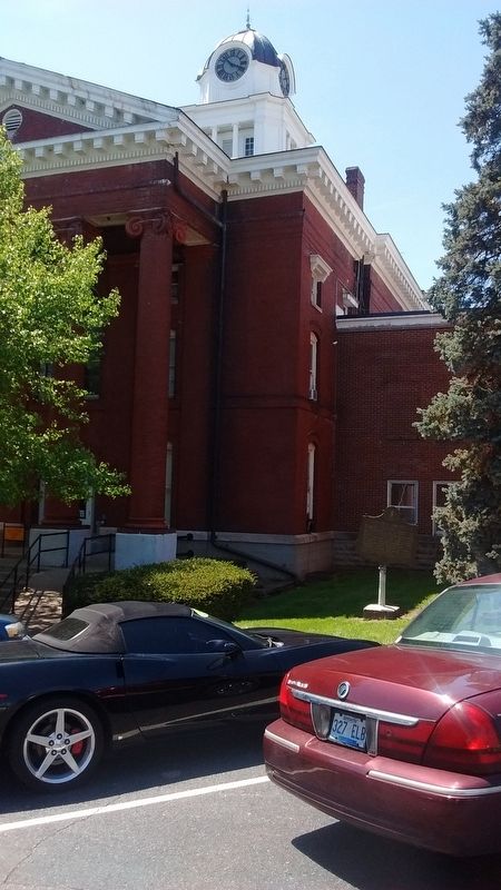
Photographed by Tom Bosse, April 12, 2017
2. Lincoln County Marker
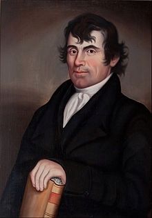
Photographed by Tom Bosse
3. Benjamin Logan
Credits. This page was last revised on July 13, 2017. It was originally submitted on July 12, 2017, by Tom Bosse of Jefferson City, Tennessee. This page has been viewed 580 times since then and 32 times this year. Photos: 1, 2, 3. submitted on July 12, 2017, by Tom Bosse of Jefferson City, Tennessee. • Bill Pfingsten was the editor who published this page.
