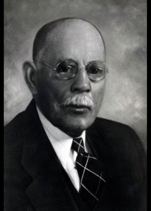
John William Bate
(1855~1945)
Side 1
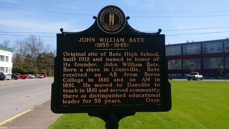
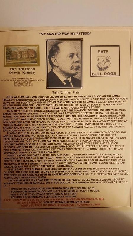
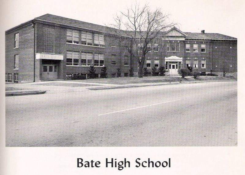
Original site of Bate High School, built 1912 and named in honor of its founder, John William Bate. Born a slave in Louisville, Bate received an AB from Berea College in 1881 and and AM in 1891. He moved to Danville to teach in 1881 and served community there as distinguished educational leader for 59 years.
Side 2
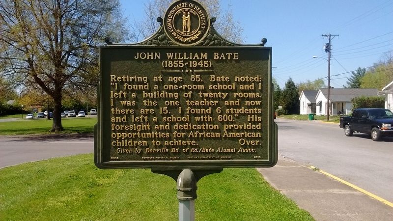
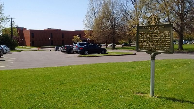
Retiring at age 85, Bate noted: "I found a one~room school and I left a building of twenty rooms. I was the one teacher and now there are 15. I found 6 students and left a school with 600." his foresight and dedication provided opportunities for African American children to achieve.
Given by Danville Bd. of Ed. / Bate Alumni Assoc.
Erected 2005 by Kentucky Historical Society & Kentucky Department of Highways. (Marker Number 2186.)
Topics and series. This historical marker is listed in these topic lists: African Americans • Education. In addition, it is included in the Kentucky Historical Society series list. A significant historical year for this entry is 1912.
Location. 37° 38.544′ N, 84° 45.856′ W. Marker is in Danville, Kentucky, in Boyle County. It is on Stanford Ave (Kentucky Route 150),
this page online

Regionally, this marker is in Kentucky’s Bluegrass Region. It is also in the American South and specifically in the Upper South. Globally, it is in North America, the Western Hemisphere, the Western World, and the Anglosphere. Historically, it finds itself in what was once the territory of the Mississippian Culture and also the Antebellum South.
Other nearby markers. At least 8 other markers are within walking distance of this marker: Old Crow Inn / John Crow (about 700 feet away, measured in a direct line); Willis Russell House / Craddock and Tardiveau (approx. ¼ mile away); Dr. Mary E. Britton (approx. 0.3 miles away); Grayson's Tavern (approx. 0.3 miles away); a different marker also named Grayson’s Tavern (approx. 0.3 miles away); Brick Schoolhouse (approx. 0.4 miles away); Watts-Bell House (approx. 0.4 miles away); Fisher’s Row (approx. 0.4 miles away). Touch for a list and map of all markers
Credits. This page was last revised on July 14, 2017. It was originally submitted on July 12, 2017, by Tom Bosse of Jefferson City, Tennessee. This page has been viewed 552 times since then and 30 times this year. Photos: 1, 2, 3, 4, 5, 6. submitted on July 12, 2017, by Tom Bosse of Jefferson City, Tennessee. • Bill Pfingsten was the editor who published this page.
