Near Beekmantown in Clinton County, New York — The American Northeast (Mid-Atlantic)
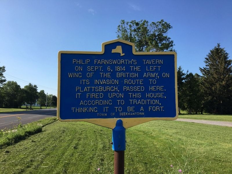
Philip Farnsworth's Tavern
Erected by Town of Beekmantown.
Topics. This historical marker is listed in this topic list: War of 1812. A significant historical date for this entry is September 6, 1814.
Location. 44° 47.027′ N, 73° 25.617′ W. Marker is near Beekmantown, New York, in Clinton County. Marker is on New York State Route 9 north of Spellman Road (New York State Route 456), on the left when traveling north. Touch for map. Marker is at or near this postal address: 8033 US 9, Plattsburgh NY 12901, United States of America. Touch for directions.
Other nearby markers. At least 8 other markers are within 4 miles of this marker, measured as the crow flies. Point Au Roche Methodist Episcopal Church (approx. 1.8 miles away); A. Vantine Farm (approx. 2˝ miles away); Benjamin Franklin (approx. 2.7 miles away); East Beekmantown (approx. 2.8 miles away); Culver Hill Memorial (approx. 3.3 miles away); The War of 1812 (approx. 3.3 miles away); Benedict Arnold (approx. 3˝ miles away); Sheldon-Hagar Homestead (approx. 4.1 miles away). Touch for a list and map of all markers in Beekmantown.
Additional commentary.
1. Battle of Plattsburgh
Built by Phillip Farnsworth around 1803, the building provided food, drink, and lodgings to travelers along the roadway. This road saw the advance of the left wing of the British Army, 7,000 enemy soldiers, headed right towards Farnsworth's Tavern and Plattsburgh beyond. These soldiers had encamped the night before in the fields around Ingraham and on the morning of the 6th, were making the final push into the town. Local lore holds that when the British first spotted this imposing stone building, they suspected it was an American fort and opened fire on the tavern, bombarding the area with their artillery! It was said that for many years afterwards, a British cannonball remained tightly lodged in an old elm tree across the road.
— Submitted December 12, 2020, by Mark Hilton of Montgomery, Alabama.
Credits. This page was last revised on December 12, 2020. It was originally submitted on July 19, 2017, by Ellen Adams of Plattsburgh, New York. This page has been viewed 424 times since then and 24 times this year. Photo 1. submitted on July 19, 2017, by Ellen Adams of Plattsburgh, New York. • Bill Pfingsten was the editor who published this page.
Editor’s want-list for this marker. A wide shot of the marker with the house. • Can you help?
