Aurora in Marshall County, Kentucky — The American South (East South Central)
Cherokee State Park
Photographed by Michael Manning, July 12, 2017
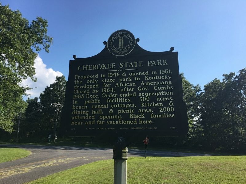
1. Cherokee State Park Marker - Side One
Proposed in 1946 & opened in 1951, the only state park in Kentucky developed for African Americans. Closed by 1964. after Gov. Combs 1963 Exec. Order ended segregation in public facilities. 300 acres, beach, rental cottages, kitchen & dining hall, & picnic area. 2000 attended opening. Black families near and far vacationed here.
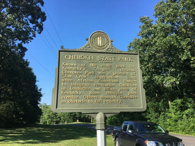
Known as the state park for Kentucky's "Negro" citizens, Cherokee Park was a product of "Jim Crow" segregation. Built when African Americans fought to integrate recreation facilities in Louisville and other parts of Kentucky. Some thought park overdue. Others thought Cherokee an obstacle to full equality.
Erected 2010 by Kentucky Department of Highways & Kentucky Historical Society. (Marker Number 2320.)
Topics and series. This historical marker is listed in these topic lists: African Americans • Entertainment. In addition, it is included in the Kentucky Historical Society series list. A significant historical year for this entry is 1946.
Location. 36° 46.399′ N, 88° 8.353′ W. Marker is in Aurora, Kentucky, in Marshall County. It is at the intersection of Cherokee Lane and U.S. 68 on
this page online

Regionally, this marker is in Kentucky’s Jackson Purchase. It is also in the American Midwest, in the South, and specifically in the Upper South. Globally, it is in North America, the Western Hemisphere, the Western World, and the Anglosphere. Historically, it finds itself in what was once the territory of the Mississippian Culture and also the Antebellum South.
Other nearby markers. At least 8 other markers are within 9 miles of this marker, measured as the crow flies: Jackson Purchase (approx. half a mile away); Civil War Sniper (approx. 3½ miles away); Golden Pond (approx. 6.4 miles away); St. Joseph's Parish (approx. 6.4 miles away); Inundated Site (approx. 7.6 miles away); Drummer Boy at 7 (approx. 8.4 miles away); Laura Furnace / Iron Made in Kentucky (approx. 8.4 miles away); Wadesboro (approx. 9 miles away).
Photographed by Michael Manning, July 12, 2017
2. Cherokee State Park Marker - Side Two
Photographed by Mark Hilton, September 12, 2018
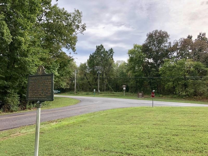
3. View from marker looking westerly from Kenlake State Resort Park at U.S. Highway 68.
Credits. This page was last revised on November 10, 2024. It was originally submitted on July 21, 2017, by Michael Manning of Woodlawn, Tennessee. This page has been viewed 719 times since then and 49 times this year. Photos: 1, 2. submitted on July 21, 2017, by Michael Manning of Woodlawn, Tennessee. 3. submitted on September 13, 2018, by Mark Hilton of Montgomery, Alabama. • Bill Pfingsten was the editor who published this page.
