
Township of Machin in Kenora District, Ontario — Central Canada (North America)
Last Spike at Feist Lake
Photographed by Kevin Craft, July 10, 2017
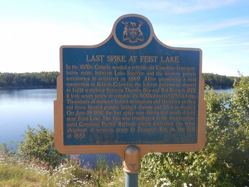
1. Last Spike at Feist Lake Marker
In the 1870s, Canada needed a reliable all-Canadian transportation route between Lake Superior and the western prairie territories it acquired in 1869. After promising a rail connection to British Columbia, the federal government started to build a railway between Thunder Bay and Red River in 1875. It took seven years to complete the 600 kilometre (375 mile) line. Thousands of workers battled mosquitoes and blackflies as they cut trees, blasted granite, bridged chasms and filled in muskeg. On June 19, 1882, the last spike was driven just south of here near Feist Lake. The line was transferred to the transcontinental Canadian Pacific Railway, which delivered the first shipment of western grain to Thunder Bay in the fall of 1883.
Erected by Ontario Heritage Foundation.
Topics and series. This historical marker is listed in this topic list: Railroads & Streetcars. In addition, it is included in the Canada, Ontario Heritage Trust series list. A significant historical date for this entry is June 19, 1882.
Location. 49° 50.81′ N, 93° 51.48′ W. Marker is in Township of Machin, Ontario, in Kenora District. It is on Trans-Canada Highway
this page online

Regionally, this marker is in Northern Ontario and specifically in Northwest Ontario. It is also in Central Canada. Globally, it is in North America, the Great North Woods, the Western Hemisphere, the Western World, and the Anglosphere. Historically, it finds itself in what was once a British colony, the Viceroyalty of New France, the Haudenosaunee (Iroquois) Confederacy, and Rupert’s Land.
Other nearby markers. At least one other marker is within walking distance of this marker: The Fowler Family and The Last Spike at Feist Lake (a few steps from this marker).
Photographed by Kevin Craft, July 10, 2017
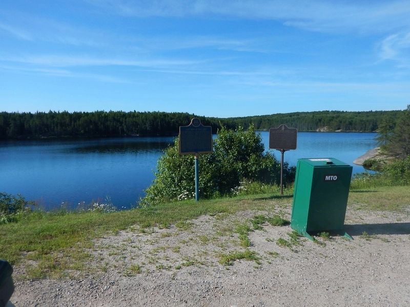
2. Wideview of Last Spike at Feist Lake Marker
Credits. This page was last revised on March 15, 2026. It was originally submitted on August 4, 2017, by Kevin Craft of Bedford, Quebec. This page has been viewed 2,132 times since then and 325 times this year. Photos: 1, 2. submitted on August 4, 2017, by Kevin Craft of Bedford, Quebec.
