Thunder Bay in Thunder Bay District, Ontario — Central Canada (North America)
Fort William
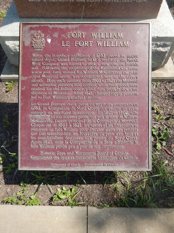
When the boundary settlement of 1783 placed its major inland depot, Grand Portage, in U.S. territory, the North West Company was forced to seek a new site on British soil. Following the reopening of the Kaministikwia route a new post, later named for William McGillivray, the principal Montreal agent, was constructed here at the river's mouth. Here each summer from 1803 to 1821 the Montreal and wintering partners held council, while trade goods were readied for the Indian country and furs brought down for shipment to Montreal. After 1821, changed supply patterns led to Fort William's gradual decline.
Erected by Historic Sites and Monuments Board of Canada.
Topics. This historical marker is listed in these topic lists: Industry & Commerce • Settlements & Settlers. A significant historical year for this entry is 1803.
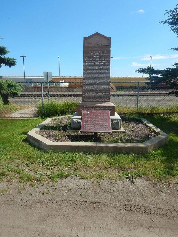
Location. 48° 23.407′ N, 89° 13.899′ W. Marker is in Thunder Bay, Ontario, in Thunder Bay District. Marker is at the intersection of McNaughton Street and McTavish Street, on the right when traveling east on McNaughton Street. Marker is at the base of another larger granite marker. Touch for map. Marker is in this post office area: Thunder Bay ON P7C 3C3, Canada. Touch for directions.
Other nearby markers. At least 8 other markers are within 2 kilometers of this marker, measured as the crow flies. The Capture of Fort William (approx. 1.2 kilometers away); 425 Donald Street East (approx. 1.3 kilometers away); Fort Kaministiquia 1717 (approx. 1.4 kilometers away); William McGillivray (approx. 1.4 kilometers away); City Hall (approx. 1.4 kilometers away); 10-Mile Road Race (approx. 1.4 kilometers away); Thunder Bay Public Library (approx. 1.4 kilometers away); The Western Route of the C.P.R. (approx. 1.7 kilometers away). Touch for a list and map of all markers in Thunder Bay.
Credits. This page was last revised on August 9, 2017. It was originally submitted on August 9, 2017, by Kevin Craft of Bedford, Quebec. This page has been viewed 356 times since then and 14 times this year. Photos: 1, 2. submitted on August 9, 2017, by Kevin Craft of Bedford, Quebec.

