Thunder Bay in Thunder Bay District, Ontario — Central Canada (North America)
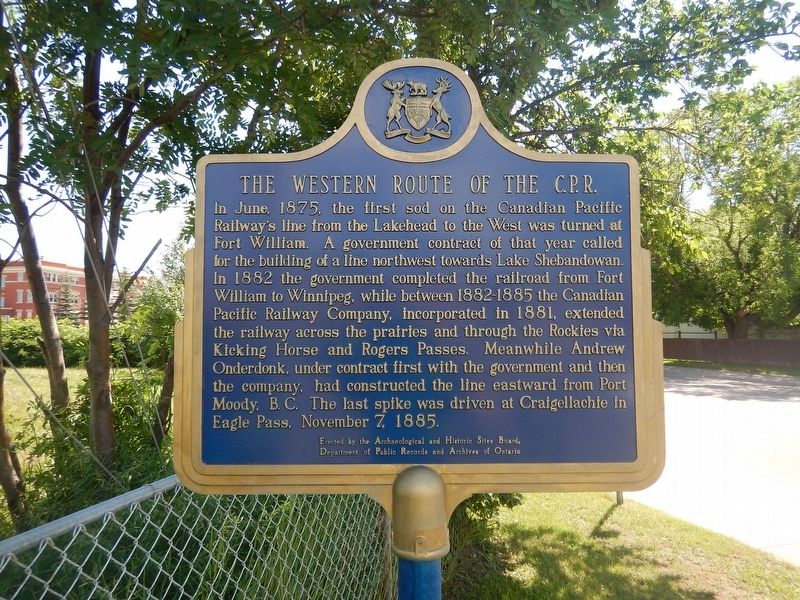
The Western Route of the C.P.R.
In June, 1875, the first sod on the Canadian Pacific Railway's line from the Lakehead to the West was turned at Fort William. A government contract of that year called for the building of a line northwest towards Lake Shebandowan. In 1882 the government completed the railroad from Fort William to Winnipeg, while between 1882-1885 the Canadian Pacific Railway Company, incorporated in 1881, extended the railway across the prairies and through the Rockies via Kicking Horse and Rogers Passes. Meanwhile Andrew Onderdonk, under contract first with the government and then the company, had constructed the line eastward from Port Moody, B.C. The last spike was driven at Craigellachie in Eagle Pass, November 7, 1885.
Erected by Archaeological and Historic Sites Board of Ontario.
Topics. This historical marker is listed in this topic list: Railroads & Streetcars. A significant historical month for this entry is June 1875.
Location. 48° 22.748′ N, 89° 14.852′ W. Marker is in Thunder Bay, Ontario, in Thunder Bay District. Marker is at the intersection of Syndicate Avenue South and Ridgeway Street East, on the right when traveling north on Syndicate Avenue South. Touch for map. Marker is in this post office area: Thunder Bay ON P7E 1E3, Canada. Touch for directions.
Other nearby markers. At least 8 other markers are within walking distance of this marker. Thunder Bay Public Library (approx. 0.3 kilometers away); 10-Mile Road Race (approx. 0.3 kilometers away); City Hall (approx. 0.3 kilometers away); William McGillivray (approx. 0.4 kilometers away); Fort Kaministiquia 1717 (approx. 0.4 kilometers away); 425 Donald Street East (approx. 0.4 kilometers away); The Capture of Fort William (approx. 0.8 kilometers away); Commemorating the 100 Millionth Tree Planted (approx. one kilometer away). Touch for a list and map of all markers in Thunder Bay.
Credits. This page was last revised on August 9, 2017. It was originally submitted on August 9, 2017, by Kevin Craft of Bedford, Quebec. This page has been viewed 257 times since then and 18 times this year. Photos: 1, 2. submitted on August 9, 2017, by Kevin Craft of Bedford, Quebec.

