Near Bancroft in Caribou County, Idaho — The American West (Mountains)
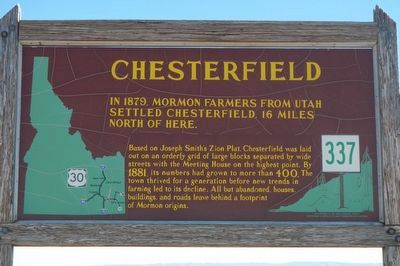
Chesterfield
Based on Joseph Smith's Zion Plat, Chesterfield was laid out on an orderly grid of large blocks separated by wide streets with the Meeting House on the highest point. By 1881, its numbers had grown to more than 400. The town thrived for a generation before new trends in farming led to its decline. All but abandoned houses, buildings, and roads leave behind a footprint of Mormon origins.
Erected by Idaho Department of Transportation. (Marker Number 337.)
Topics and series. This historical marker is listed in this topic list: Settlements & Settlers. In addition, it is included in the Idaho State Historical Society series list. A significant historical year for this entry is 1879.
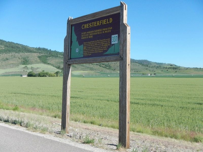
Location. 42° 39.006′ N, 111° 52.77′ W. Marker is near Bancroft, Idaho, in Caribou County. Marker is on U.S. 30 at milepost 378.8 near Lund Road, on the right when traveling west. Touch for map. Marker is in this post office area: Bancroft ID 83217, United States of America. Touch for directions.
Other nearby markers. At least 8 other markers are within 8 miles of this marker, measured as the crow flies. Hudspeth's Cutoff (approx. 2.4 miles away); Bancroft's First School (approx. 4.8 miles away); Lava Hot Springs' healing waters (approx. 6.8 miles away); Lava Hot Springs (approx. 6.8 miles away); a different marker also named Lava Hot Springs (approx. 6.8 miles away); Furs and farms, fire and floods... (approx. 7 miles away); Lead Bell Mining Company (approx. 7 miles away); Ivins Pioneer Cemetery (approx. 7˝ miles away). Touch for a list and map of all markers in Bancroft.
Also see . . . Chesterfield Historic Town Site -- Mormon Historic Sites. At its peak, it boasted a population of more than 400.1 Harsh, frontier conditions eventually caused the population of the settlement to dwindle to zero. However, it remains a largely untouched example of life in the 19th century.In the late 1970s, the nonprofit Chesterfield Foundation was formally organized to help restore and preserve the community. (Submitted on August 10, 2017, by Barry Swackhamer of Brentwood, California.)
Credits. This page was last revised on August 10, 2017. It was originally submitted on August 9, 2017, by Barry Swackhamer of Brentwood, California. This page has been viewed 431 times since then and 15 times this year. Photos: 1, 2. submitted on August 9, 2017, by Barry Swackhamer of Brentwood, California.

