Södermalm in Stockholm, Stockholm County, Sweden — Northern Europe (Scandinavia)
Västra Gymnasiehuset / Western High School Building
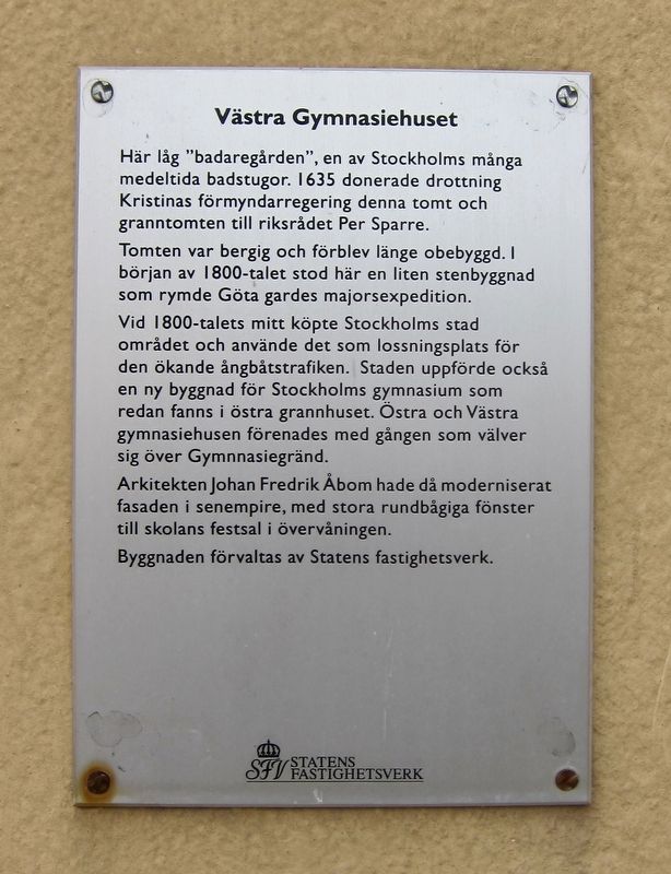
Inscription.
Tomten var bergig och förblev länge obebyggd. 1 början av 1800-talet stod här en liten stenbyggnad som rymde Göta gardes majorsexpedition.
Vid 1800-talets mitt köpte Stockholms stad området och använde det som lossningsplats för den ökande ångbåtstrafiken. Staden uppförde också en ny byggnad för Stockholms gymnasium som redan fanns i östra grannhuset. Östra och Västra gymnasiehusen förenades med gången som välver sig över Gymnnasiegränd.
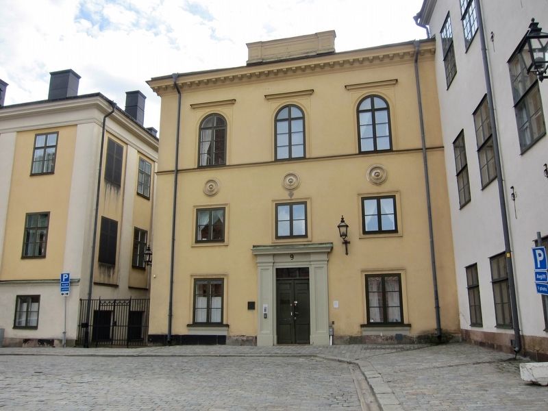
Arkitekten Johan Fredrik Åbom hade då moderniserat fasaden i senempire, med stora rundbågiga fönster till skolans festsal i övervåningen.
Byggnaden förvaltas av Statens fastighetsverk
Located at this site was the "Badaregården", one of Stockholm's many medieval cabins. In 1635, Queen Christina's deputy government donated this plot and and the adjacent one to Per Sparre, member of the Privy Council.
The plot was rocky and remained undeveloped for a long time. In the early 19th century there was a small stone building that housed Göta Guards expedition force.
By the middle of the 19th century, the city of Stockholm had purchased the area and used it as an unloading site for the increasing steamship traffic. The city also built a new building for the Stockholm High School, which was already in the adjacent building to the east. The Eastern and Western high school buildings were joined by a hallway overlooking the school grounds.
The architect Johan Fredrik Åbom modernized the facade in Empire style, adding large rounded windows to the school's assembly hall on the upper floor.
The property is owned by the National Property Board of Sweden.
Erected by Statens Fastighetsverk.
Topics. This historical marker is listed in this topic list: Education.
Location. 59° 19.461′ N, 18° 3.84′ E. Marker is in Stockholm, Stockholms län (Stockholm County). It is in Södermalm. Marker is on Birger Jarls torg just south of Wrangelska backen, on the right when traveling west. Touch for map. Marker is at or near this postal address: Birger Jarls torg 9, Stockholm, Stockholms län 111 28, Sweden. Touch for directions.
Other nearby markers. At least 8 other markers are within walking distance of this marker. Östra Gymnasiehuset / Eastern High School building (a few steps from this marker); Sparreska Palatset / Palace
(a few steps from this marker); Kammarrättens hus / Administrative Court of Appeal (within shouting distance of this marker); Norstedts (about 180 meters away, measured in a direct line); Riddarholmen (about 210 meters away); Erik Dahlbergh (approx. 0.3 kilometers away); Storkyrkans Hus / Cathedral House (approx. 0.3 kilometers away); Stuténska Huset / The Stuten Building (approx. 0.4 kilometers away). Touch for a list and map of all markers in Stockholm.
Credits. This page was last revised on February 19, 2022. It was originally submitted on August 22, 2017, by Andrew Ruppenstein of Lamorinda, California. This page has been viewed 290 times since then and 18 times this year. Photos: 1, 2. submitted on August 22, 2017, by Andrew Ruppenstein of Lamorinda, California.

