Sturgeon Falls in Nipissing District, Ontario — Central Canada (North America)
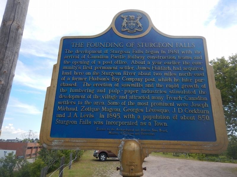
The Founding of Sturgeon Falls
The development of Sturgeon Falls began in 1881 with the arrival of Canadian Pacific Railway constructions teams and the opening of a post office. About a year earlier the community's first permanent settler, James Holditch, had acquired land here on the Sturgeon River about two miles north-east of a former Hudson's Bay Company post, which he later purchased. The erection of sawmills and the rapid growth of the lumbering and pulp-paper industries stimulated the development of the village and attracted many French-Canadian settlers to the area. Some of the most prominent were Joseph Michaud, Zotique Mageau, Georges Lévesque, J.D. Cockburn and J.A. Lévis. In 1895, with a population of about 850, Sturgeon Falls was incorporated as a Town.
Erected by Archaeological and Historic Sites Board of Ontario.
Topics. This historical marker is listed in these topic lists: Industry & Commerce • Railroads & Streetcars • Settlements & Settlers. A significant historical year for this entry is 1881.
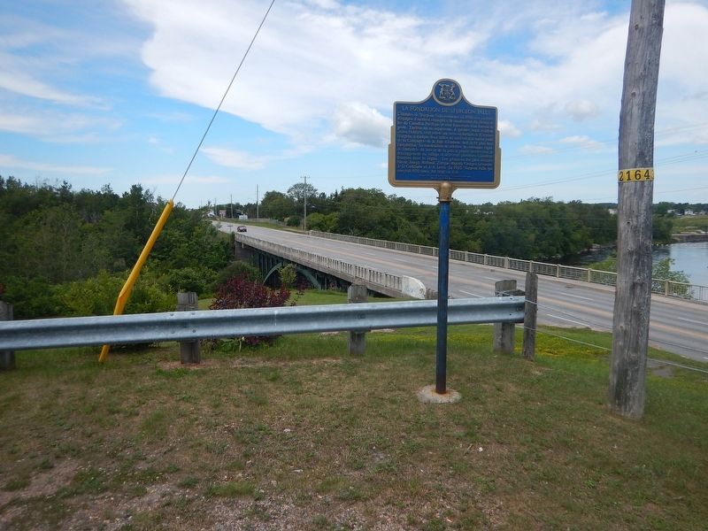
Location. 46° 21.956′ N, 79° 55.984′ W. Marker is in Sturgeon Falls, Ontario, in Nipissing District. Marker is on Front Street (Provincial Highway 17) 0.4 kilometers east of Ottawa Street, on the right when traveling east. Marker is located in a pull-out overlooking the Sturgeon River. Touch for map. Marker is in this post office area: Sturgeon Falls ON P2B 2G7, Canada. Touch for directions.
Other nearby markers. At least 1 other marker is within 16 kilometers of this marker, measured as the crow flies. The Reverend Charles Alfred Marie Paradis (approx. 15.5 kilometers away).
Credits. This page was last revised on August 28, 2017. It was originally submitted on August 28, 2017, by Kevin Craft of Bedford, Quebec. This page has been viewed 348 times since then and 64 times this year. Photos: 1, 2. submitted on August 28, 2017, by Kevin Craft of Bedford, Quebec.

