Bowling Green in Edmonson County, Kentucky — The American South (East South Central)
World Treasure Saved
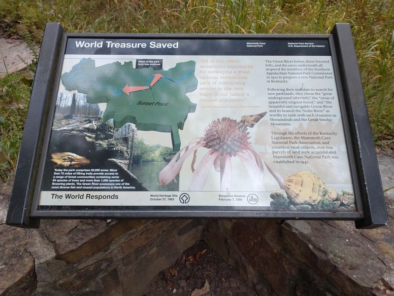
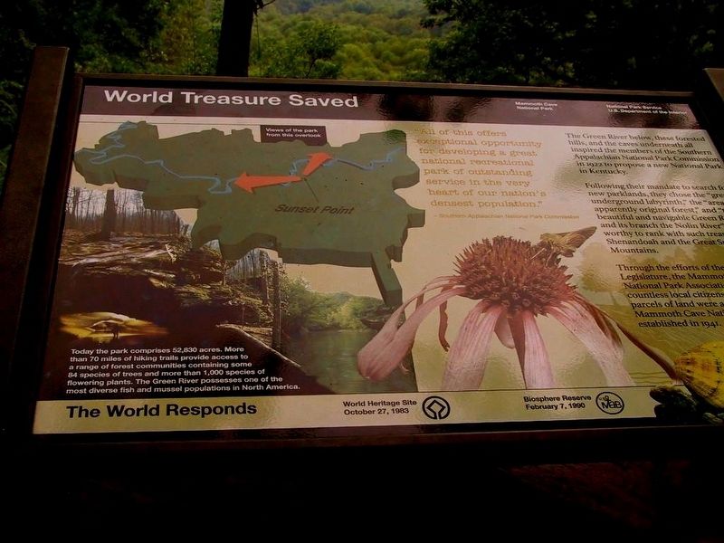
"All of this offers exceptional opportunity for developimg a great national recreational park of outstanding service in the very heart of our nation's densest population."
Southern Applachian National Parks Commission
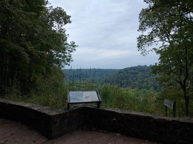
The Green River below, thses forested hills, and the cave underneath all inspired the members of the Southern Appalachian National Park Commission in 1922 to propose a new National Park in Kentucky.
Following their mandate to search for new parklands, they choose the "great underground labyrinth, "the areas apparently original forest, " and "the beautiful and navigable Green River and its branch the Nolin River" worthy to rank with such treasures Shenandoah and the Great Smoky Mountains.
Through the efforts of the State Legislature, the Mammoth Cave National Park Association and countless local citizens parcels of land were aquried for Mammoth Cave National Park Established in 1941.
Today the park comprises 52,830 acres. More than 70 miles of hiking trails provide access to a range of forest communities containing some 84 species of tree and more than 1,000 species of flowering plants. The Green River possesses one of the most diverse fish and mussel populations in North America. The World Responds
World Heritage Site October 27, 1983
Biosphere Reserve February 7, 1990
Erected by Mammoth Cave National Park National Park Service US Department of the Interior.
Topics. This historical marker is listed in this topic list: Horticulture & Forestry.
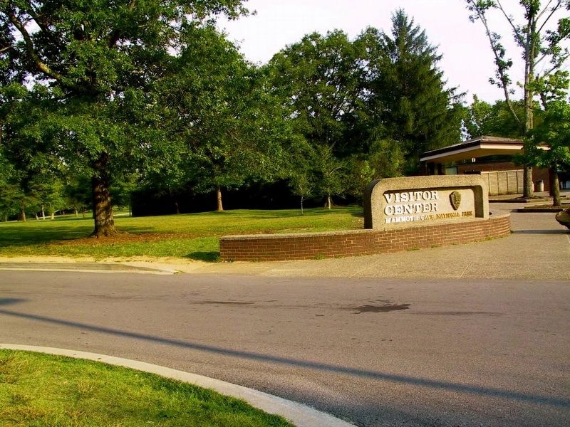
Location. 37° 11.219′ N, 86° 6.032′ W. Marker is in Bowling Green, Kentucky, in Edmonson County. Marker is on Mammoth Cave Entrance Road. Marker located inside Mammoth Cave National Park. Touch for map. Marker is at or near this postal address: 1 Mammoth Cave Parkway, Mammoth Cave KY 42259, United States of America. Touch for directions.
Other nearby markers. At least 8 other markers are within walking distance of this marker. Old Guide's Cemetery (a few steps from this marker); Mammoth Cave National Park (within shouting distance of this marker); Stephen Tyng Mather (within shouting distance of this marker); The Great War Monuments (approx. 0.2 miles away); The Mammoth Cave Railroad (approx. 0.2 miles away); Engine No. 4 (approx. 0.2 miles away); An African American Heritage (approx. ¼ mile away); Old Riverboat Landing (approx. half a mile away).
Also see . . . Green River. In 1842, the Green River was canalized, with a series of locks and dams being built to create a navigable channel as far inland as Bowling Green, Kentucky. Four locks and dams were constructed on the Green River, and one lock and dam was built on the Barren River, a tributary that passed through Bowling Green. (Submitted on August 28, 2017, by Sandra Hughes Tidwell of Killen, Alabama, USA.)
Credits. This page was last revised on September 24, 2023. It was originally submitted on August 28, 2017, by Sandra Hughes Tidwell of Killen, Alabama, USA. This page has been viewed 272 times since then and 25 times this year. Photos: 1, 2. submitted on September 21, 2023, by Tom Bosse of Jefferson City, Tennessee. 3, 4, 5. submitted on August 28, 2017, by Sandra Hughes Tidwell of Killen, Alabama, USA. • Bill Pfingsten was the editor who published this page.
