Myersville in Frederick County, Maryland — The American Northeast (Mid-Atlantic)
The H & F Trolley
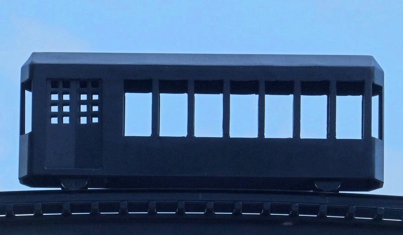
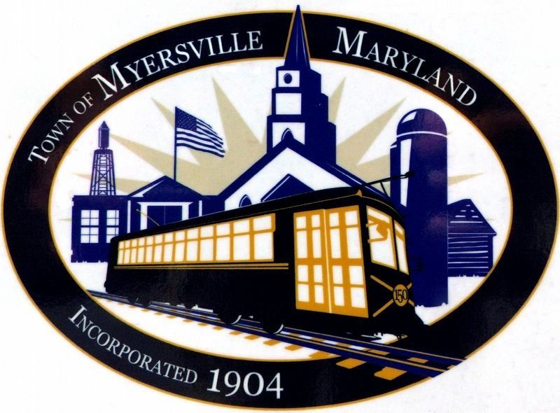
The Myersville and Catoctin Railway was built and paid for by Myersville citizens eager to bring the railway to their small town of 150 people. The trolley made Myersville the hub of the surrounding farming area. Residents could travel to work in other towns and order goods from other parts of the country.
The trolley also was a source of recreation. and excursion, riding the round-trip circuit to Braddock Heights where people often stopped for a picnic lunch then on to Frederick or Hagerstown, and back, to Myersville in the evening. The trolley ran until 1945 and the tracks were taken up in the spring of that year.
Topics. This historical marker is listed in this topic list: Railroads & Streetcars.
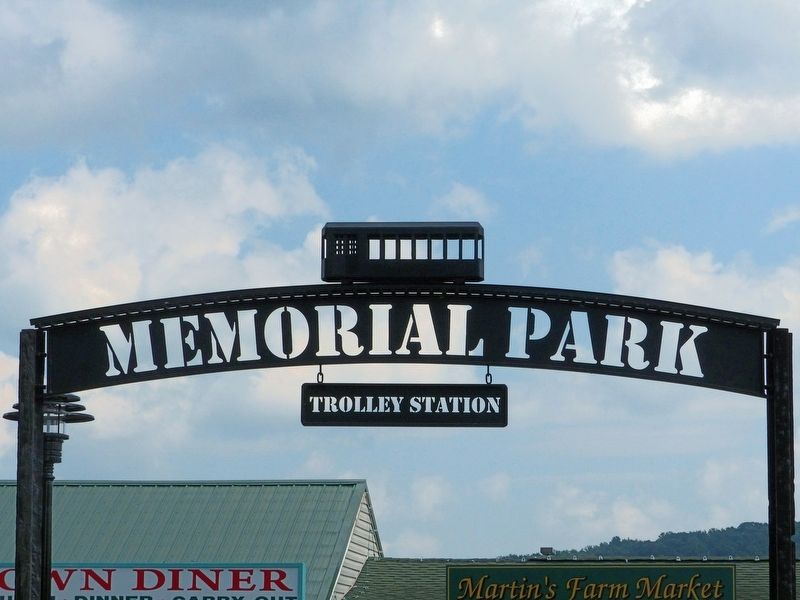
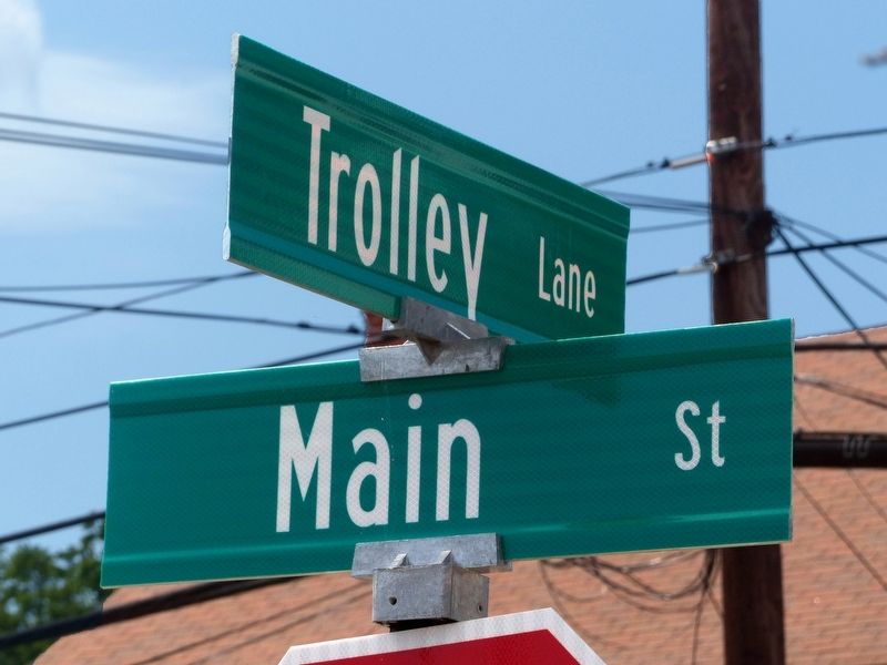
Location. 39° 30.392′ N, 77° 33.987′ W. Marker is in Myersville, Maryland, in Frederick County. Marker can be reached from the intersection of Main Street and Trolley Lane. This marker is in Myersville's Memorial Park. Touch for map. Marker is at or near this postal address: 309 Main Street, Myersville MD 21773, United States of America. Touch for directions.
Other nearby markers. At least 8 other markers are within 3 miles of this marker, measured as the crow flies. Farming in the Valley (here, next to this marker); Religious Traditions (here, next to this marker); Trolley Station (a few steps from this marker); The First Churches of Western Maryland (approx. 1.4 miles away); The Battle of Antietam (approx. 2.2 miles away); Camp David (approx. 2.2 miles away); Underground Railroad (approx. 2.2 miles away); Explore Maryland at the Crossroads of Conflict (approx. 2.2 miles away). Touch for a list and map of all markers in Myersville.
Credits. This page was last revised on September 6, 2017. It was originally submitted on September 4, 2017, by Allen C. Browne of Silver Spring, Maryland. This page has been viewed 399 times since then and 25 times this year. Photos: 1, 2, 3, 4, 5, 6. submitted on September 4, 2017, by Allen C. Browne of Silver Spring, Maryland. • Bill Pfingsten was the editor who published this page.


