Bay St. Louis in Hancock County, Mississippi — The American South (East South Central)
Hancock County Bank
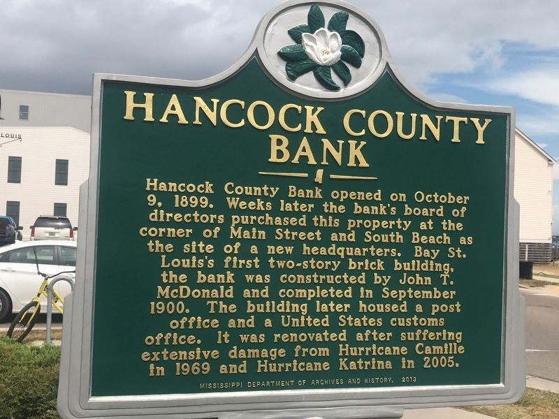
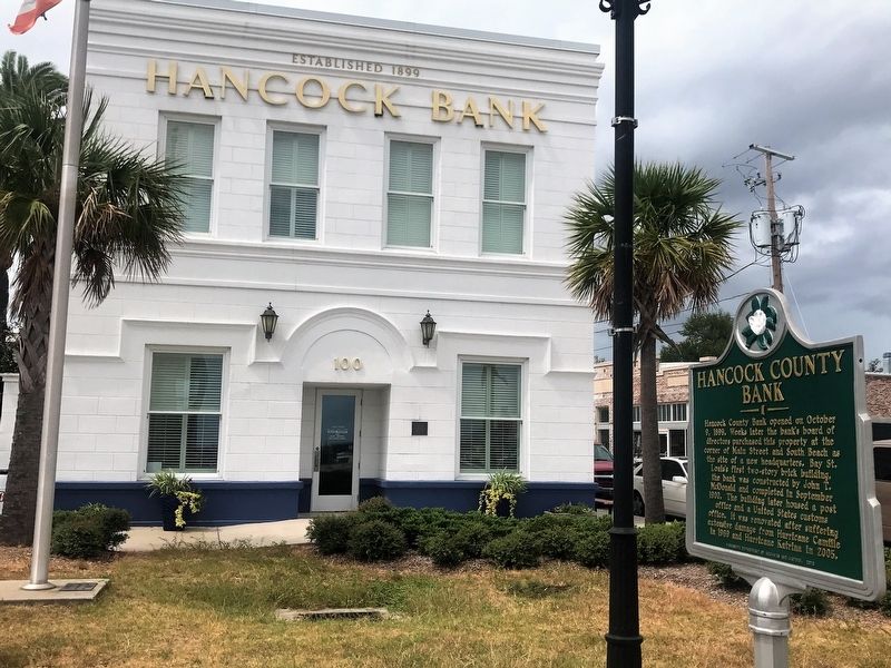
Hancock County Bank opened on October 9, 1899. Weeks later the bank's board of directors purchased this property at the corner of Main Street and South Beach as the site of a new headquarters. Bay St. Louis's first two-story brick building, the bank was constructed by John T. McDonald and completed in September 1900. The building later housed a post office and a United States customs office. It was renovated after suffering extensive damage from Hurricane Camille in 1969 and Hurricane Katrina in 2005.
Erected 2013 by Mississippi Department of Archives and History.
Topics and series. This historical marker is listed in these topic lists: Architecture • Disasters • Industry & Commerce • Notable Buildings. In addition, it is included in the Mississippi State Historical Marker Program series list.
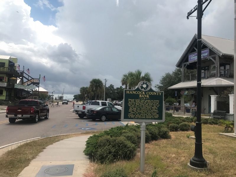
Location. 30° 18.618′ N, 89° 19.546′ W. Marker is in Bay St. Louis, Mississippi, in Hancock County. Marker is at the intersection of South Beach Boulevard and Main Street, on the right when traveling south on South Beach Boulevard. Touch for map. Marker is at or near this postal address: 100 S Beach Boulevard, Bay Saint Louis MS 39520, United States of America. Touch for directions.
Other nearby markers. At least 8 other markers are within walking distance of this marker. Jean Baptiste le Moyne Siuer de Bienville (a few steps from this marker); First Baptist Church of Bay St. Louis (about 600 feet away, measured in a direct line); Publius Rutilius Rufus Pray (approx. 0.2 miles away); St. Joseph's Academy (approx. 0.2 miles away); Our Lady of the Gulf (approx. 0.2 miles away); Old Shieldsborough (approx. ¼ mile away); Naval Battle of Bay St. Louis (approx. ¼ mile away); St. Stanislaus College (approx. 0.3 miles away). Touch for a list and map of all markers in Bay St. Louis.
Credits. This page was last revised on March 18, 2022. It was originally submitted on September 18, 2017, by Cajun Scrambler of Assumption, Louisiana. This page has been viewed 354 times since then and 75 times this year. Photos: 1, 2, 3. submitted on September 18, 2017, by Cajun Scrambler of Assumption, Louisiana.


