Hanover in Chautauqua County, New York — The American Northeast (Mid-Atlantic)
American Revolution
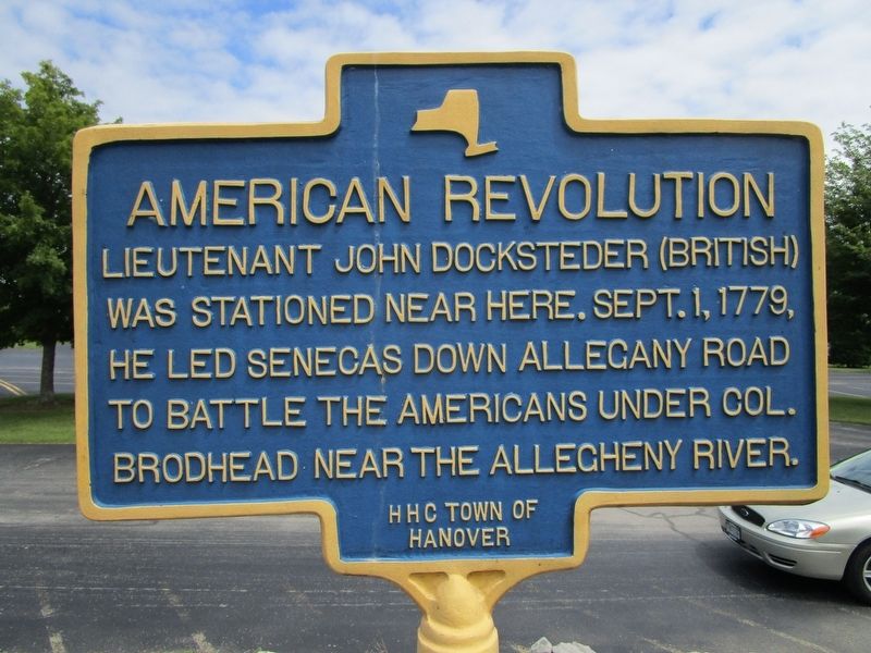
Photographed by Anton Schwarzmueller, July 15, 2017
1. American Revolution Marker
Lieutenant John Docksteder (British)
was stationed here. Sept. 1, 1779,
he led Senecas down Allegany Road
to battle the Americans under Col.
Brodhead near the Allegheny River.
Erected by Hanover History Center, Town of Hanover.
Topics. This historical marker is listed in this topic list: War, US Revolutionary. A significant historical date for this entry is September 1, 1779.
Location. 42° 33.826′ N, 79° 7.736′ W. Marker is in Hanover, New York, in Chautauqua County. It can be reached from Triangle Drive 0.2 miles east of Ann Street, on the left when traveling east. Marker is at the restrooms at the Town of Hanover boat launch (into Cattaraugus Creek), a facility of the New York State Department of Environmental Conservation. Touch for map. Marker is in this post office area: Irving NY 14081, United States of America. Touch for directions.

Regionally, this marker is in Upstate New York, specifically in Western New York, and in the Southern Tier. It is also in the American Northeast, in the Mid-Atlantic, in Appalachia, and specifically in Northern Appalachia. Globally, it is in North America, on the Great
this page online
Other nearby markers. At least 8 other markers are within 3 miles of this marker, measured as the crow flies: Amos Sottle (approx. 0.9 miles away); Everett R. Burmaster (approx. one mile away); gëöya'geo:nö' yagö:gweh - Skywoman (approx. 1½ miles away); Oda'ä:de'- Sky Dome (approx. 1½ miles away); Onöndowa'ga:' - People of the Great Hill (approx. 1½ miles away); Hodinöhso:ni' (approx. 1½ miles away); First Settlers (approx. 2.3 miles away); Dedicated to the Men and Women (approx. 2.4 miles away).
More about this marker. From US Route 20 in the area known as Irving, take Allegany Road north to Ann Street. The small bridge from Ann Street to Triangle Drive has a significant weight restriction.
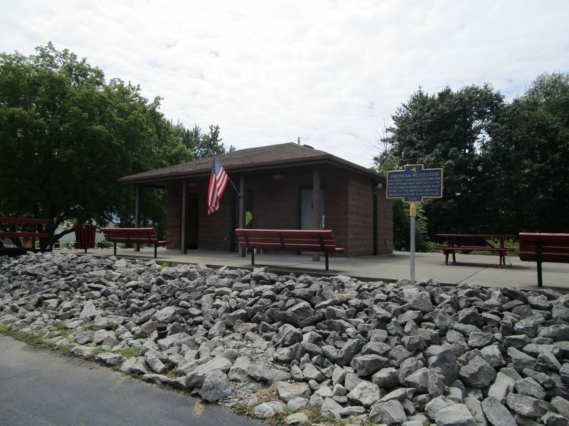
Photographed by Anton Schwarzmueller, July 15, 2017
2. American Revolution Marker
Credits. This page was last revised on September 23, 2017. It was originally submitted on July 16, 2017, by Anton Schwarzmueller of Wilson, New York. This page has been viewed 871 times since then and 86 times this year. Last updated on September 23, 2017, by Vincent P. Martonis of Gerry, New York. Photos: 1, 2. submitted on July 16, 2017, by Anton Schwarzmueller of Wilson, New York.
