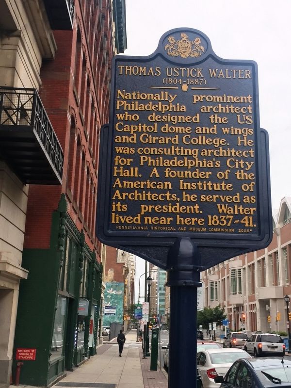
William Penn Annex West in Philadelphia in Philadelphia County, Pennsylvania — The American Northeast (Mid-Atlantic)
Thomas Ustick Walter (1804-1887)
Erected 2009 by Pennsylvania Historical and Museum Commission.
Topics and series. This historical marker is listed in this topic list: Architecture. In addition, it is included in the Pennsylvania Historical and Museum Commission series list.
Location. 39° 57.235′ N, 75° 9.621′ W. Marker is in Philadelphia, Pennsylvania, in Philadelphia County. It is in William Penn Annex West. Marker is on Arch Street, on the left when traveling west. Touch for map. Marker is at or near this postal address: 1216 Arch Street, Philadelphia PA 19107, United States of America. Touch for directions.
Other nearby markers. At least 8 other markers are within walking distance of this marker. Dr. Constantine Hering (within shouting distance of this marker); Reading Terminal Market (within shouting distance of this marker); Friendship Gate (about 300 feet away, measured in a direct line); Water Gives Life (about 400 feet away); 13th & Market (about 700 feet away); PSFS Building (about 700 feet away); Masonic Temple Philadelphia (about 700 feet away); Philadelphia Fire Department Memorial (about 800 feet away). Touch for a list and map of all markers in Philadelphia.
Credits. This page was last revised on February 2, 2023. It was originally submitted on October 6, 2017, by Glen Umberger of New York, New York. This page has been viewed 333 times since then and 45 times this year. Photo 1. submitted on October 6, 2017, by Glen Umberger of New York, New York. • Bill Pfingsten was the editor who published this page.
