Near Tuscaloosa in Tuscaloosa County, Alabama — The American South (East South Central)
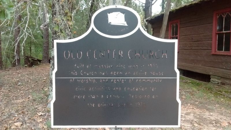
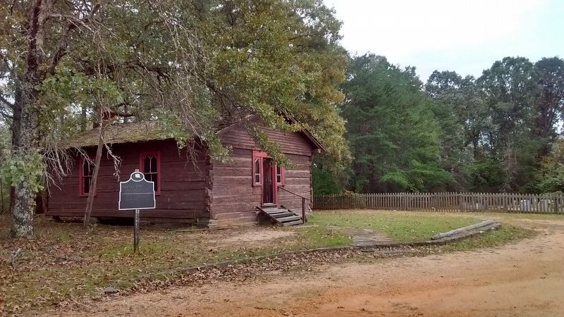
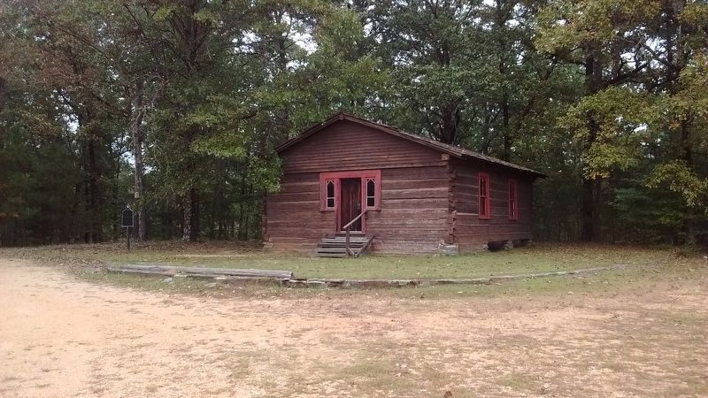
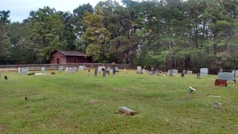
Old Center Church
Topics. This historical marker is listed in this topic list: Churches & Religion. A significant historical year for this entry is 1875.
Location. 33° 17.041′ N, 87° 29.406′ W. Marker is near Tuscaloosa, Alabama, in Tuscaloosa County. Marker is on New Watermelon Road south of Harbour Ridge Way, on the right when traveling north. Touch for map. Marker is in this post office area: Tuscaloosa AL 35406, United States of America. Touch for directions.
Other nearby markers. At least 8 other markers are within 6 miles of this marker, measured as the crow flies. Bethel Presbyterian Church (approx. 2.1 miles away); First Papermaking In Alabama (approx. 4.6 miles away); Bryce Hospital Cemetery #2 (approx. 4.9 miles away); Bryce Hospital Cemetery No.3 (approx. 5 miles away); Old Bryce Cemetery (approx. 5 miles away); Bryce Hospital Cemetery #1A (approx. 5.1 miles away); The Warrior-Tombigbee Waterway (approx. 5.4 miles away); Hopewell Baptist Church (approx. 5.6 miles away). Touch for a list and map of all markers in Tuscaloosa.
Credits. This page was last revised on October 25, 2017. It was originally submitted on October 24, 2017, by Tom Bosse of Jefferson City, Tennessee. This page has been viewed 345 times since then and 38 times this year. Photos: 1, 2, 3, 4. submitted on October 24, 2017, by Tom Bosse of Jefferson City, Tennessee. • Bernard Fisher was the editor who published this page.


