Rutland in Rutland County, Vermont — The American Northeast (New England)
Old State House
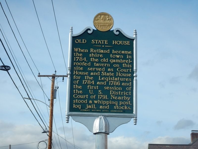
When Rutland became the Shiretown in 1784, the old gambrel-roofed Tavern on this site served as Court House and State House for the Legislatures of 1784 and 1786 and the first session of the U.S. District Court of 1791. Nearby stood a whipping post, log jail, and stocks.
Erected 1949 by Vermont Historic Sites Commission.
Topics. This historical marker is listed in these topic lists: Government & Politics • Settlements & Settlers. A significant historical year for this entry is 1784.
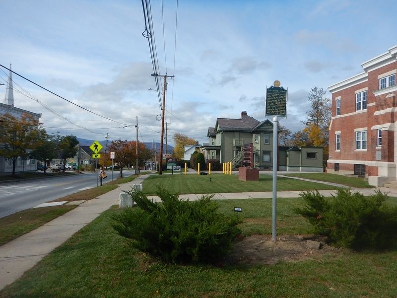
Location. 43° 36.521′ N, 72° 58.405′ W. Marker is in Rutland, Vermont, in Rutland County. Marker is at the intersection of West Street (Business U.S. 4) and North Main Street (U.S. 7), on the right when traveling west on West Street. Touch for map. Marker is at or near this postal address: 15 West Street, Rutland VT 05701, United States of America. Touch for directions.
Other nearby markers. At least 8 other markers are within walking distance of this marker. A different marker also named Old State House (a few steps from this marker); John Deere (within shouting distance of this marker); Fort Rutland Memorial (about 300 feet away, measured in a direct line); Green Mountain Boys (about 500 feet away); Rutland World War I Memorial (about 700 feet away); Korea War Memorial (about 700 feet away); Julia C.R. Dorr (about 800 feet away); Julia Caroline Ripley Dorr (approx. 0.2 miles away). Touch for a list and map of all markers in Rutland.
More about this marker. Marker was refurbished and re-installed in 2017.
Credits. This page was last revised on October 29, 2017. It was originally submitted on October 29, 2017, by Kevin Craft of Bedford, Quebec. This page has been viewed 279 times since then and 26 times this year. Photos: 1, 2. submitted on October 29, 2017, by Kevin Craft of Bedford, Quebec.

