Noyan in Le Haut-Richelieu, Québec — Central Canada (French-Canadian)
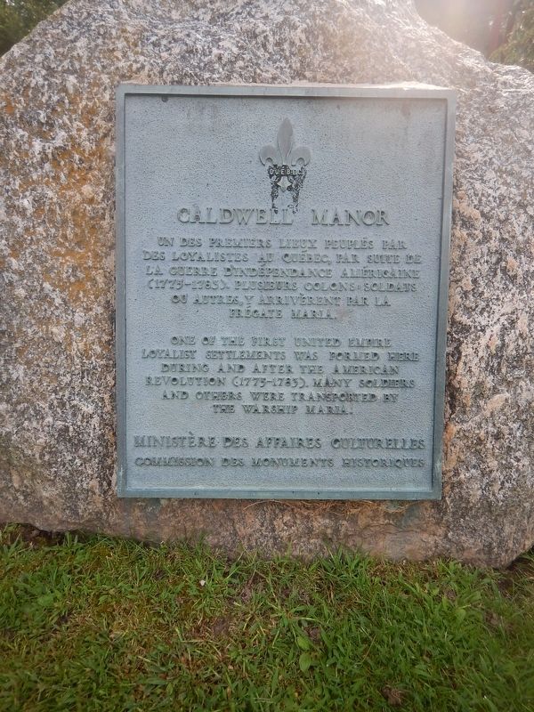
Caldwell Manor
One of the first United Empire Loyalist settlements was formed here during and after the American Revolution (1775–1783). Many soldiers and others were transported by the warship Maria.
Erected by Ministère des Affaires Culturelles - Commission des Monuments Historiques.
Topics. This historical marker is listed in these topic lists: Settlements & Settlers • War, US Revolutionary. A significant historical year for this entry is 1775.
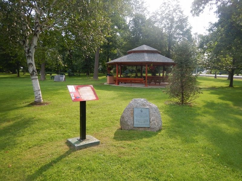
Location. 45° 3.841′ N, 73° 17.928′ W. Marker is in Noyan, Québec, in Le Haut-Richelieu. Marker is at the intersection of Chemin de la Petite France (Québec Route 225) and Québec Route 202, on the right when traveling north on Chemin de la Petite France. Marker is located in the town park, near the gazebo. Touch for map. Marker is in this post office area: Noyan QC J0J 1B0, Canada. Touch for directions.
Other nearby markers. At least 8 other markers are within 10 kilometers of this marker, measured as the crow flies. Blockhaus de la Rivière-Lacolle (approx. 3.5 kilometers away); a different marker also named Blockhaus de la Rivière-Lacolle (approx. 3.5 kilometers away); Bataille du Moulin de Lacolle / Battle of the Lacolle Mill (approx. 3.6 kilometers away); The Royal Navy (approx. 6.7 kilometers away); Fort Lennox (approx. 6.9 kilometers away); La Bataille d’Odelltown / Battle of Odelltown (approx. 7.3 kilometers away); Chantier Naval de Île-aux-Noix (approx. 7.4 kilometers away); Fort Montgomery (approx. 8.5 kilometers away in the U.S.).
Credits. This page was last revised on November 2, 2017. It was originally submitted on October 31, 2017, by Kevin Craft of Bedford, Quebec. This page has been viewed 621 times since then and 101 times this year. Photos: 1, 2. submitted on October 31, 2017, by Kevin Craft of Bedford, Quebec.

