Near Challis in Custer County, Idaho — The American West (Mountains)
Tollgate Station
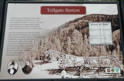
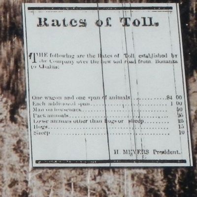
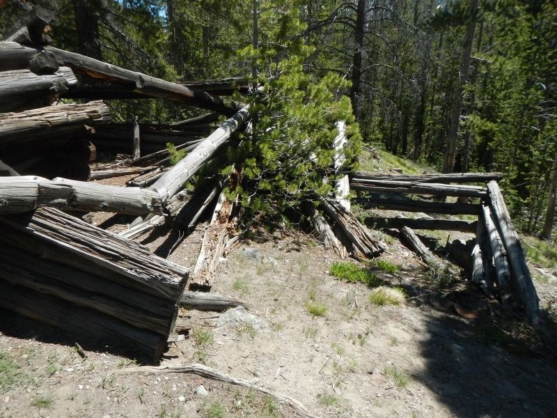
This site was selected as the collection point to collect fees from Toll Road users. Charles and Harriet Keene operated the station that included a bunkhouse, corrals and a large house. Despite severe winters and an 8,000 foot elevation, the Keenes took care of drivers and passengers year round, from 1880 to 1889. Toll collection discontinued after the completion of a new road along the Salmon River in 1889.
Erected by U.S. Forest Service, Idaho Department of Parks and Recreation, and the Bureau of Land Management.
Topics. This historical marker is listed in these topic lists: Industry & Commerce • Railroads & Streetcars. A significant historical year for this entry is 1879.
Location. 44° 27.738′ N, 114° 29.022′ W. Marker is near Challis, Idaho, in Custer County. Marker is on Custer Motorway Adventure Road - Mill Creek Road (Forest Road 070), on the left when traveling west. Touch for map. Marker is in this post office area: Challis ID 83226, United States of America. Touch for directions.
Other nearby markers. At least 6 other markers are within 15 miles of this marker, measured as the crow flies. Alex Toponce (a few steps from this marker); Eleven Mile Barn (approx. 4.7 miles away); Corkscrew Grade (approx. 7.4 miles away); Parting of the Ways (approx. 8.1 miles away); Custer Cemetery (approx. 11 miles away); Clayton Smelter (approx. 14.6 miles away).
Credits. This page was last revised on November 8, 2017. It was originally submitted on November 8, 2017, by Barry Swackhamer of Brentwood, California. This page has been viewed 288 times since then and 13 times this year. Photos: 1, 2, 3, 4, 5. submitted on November 8, 2017, by Barry Swackhamer of Brentwood, California.
