Fort Totten in Northeast Washington in Washington, District of Columbia — The American Northeast (Mid-Atlantic)
In Memory of Those Who Lost Their Lives on June 22, 2009
[Red Line Metro Crash]
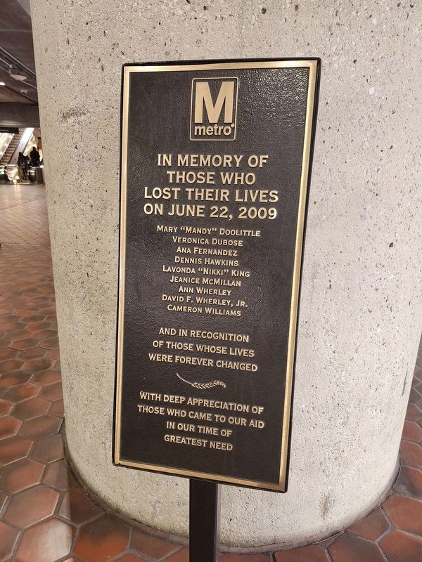
Photographed by J. Makali Bruton, November 17, 2024
1. In Memory of Those Who Lost Their Lives on June 22, 2009 Marker
those who
lost their lives
on June 22, 2009
Mary "Mandy" Doolittle
Veronica Dubose
Ana Fernandez
Dennis Hawkins
Lavonda "Nikki" King
Jeanice McMillan
Ann Wherley
David F. Wherley, Jr.
Cameron Williams
and in recognition
of those whose lives
were forever changed
with deep appreciation of
those who came to our aid
in our time of
greatest need
Erected by Washington Metropolitan Area Transit Authority.
Topics. This historical marker is listed in these topic lists: Disasters • Railroads & Streetcars. A significant historical date for this entry is June 22, 2009.
Location. 38° 57.125′ N, 77° 0.142′ W. Marker is in Northeast Washington in Washington, District of Columbia. It is in Fort Totten. It can be reached from Galloway Street Northeast west of 3rd Street Northeast, on the right when traveling east. Touch for map. Marker is at or near this postal address: 550 Galloway Street Northeast, Washington DC 20011, United States of America. Touch for directions.

Regionally, this marker is in the Washington Metropolitan Area. It is also in the American Northeast, in the Upper South, in
this page online
Other nearby markers. At least 8 other markers are within walking distance of this marker: Marlon Francisco Morales (approx. 0.2 miles away); WOOK-TV Building (approx. ¼ mile away); Fort Totten (approx. 0.3 miles away); a different marker also named Fort Totten (approx. 0.3 miles away); a different marker also named Fort Totten (approx. 0.4 miles away); St. Paul's Episcopal Church and Rock Creek Cemetery (approx. 0.4 miles away); Opha May Jacob Johnson Monument (approx. 0.6 miles away); Legacy Memorial Park (approx. 0.6 miles away). Touch for a list and map of all markers in Northeast Washington.
Regarding In Memory of Those Who Lost Their Lives on June 22, 2009. On the ground level of Fort Totten Metro Station, inside the gates. The station is open-air.
Also see . . . June 2009 Washington Metro train collision. Wikipedia entry (Submitted on May 31, 2022, by Larry Gertner of New York, New York.)
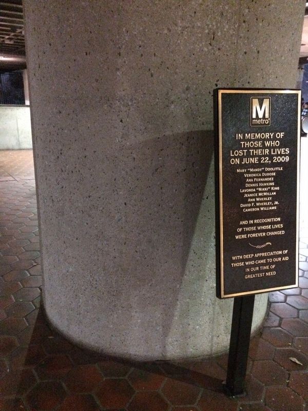
Photographed by Devry Becker Jones (CC0), November 14, 2017
2. In Memory of Those Who Lost Their Lives on June 22, 2009 Marker
Credits. This page was last revised on November 19, 2024. It was originally submitted on November 14, 2017, by Devry Becker Jones of Washington, District of Columbia. This page has been viewed 713 times since then and 48 times this year. Photos: 1. submitted on November 19, 2024, by J. Makali Bruton of Washington, District of Columbia. 2. submitted on November 14, 2017, by Devry Becker Jones of Washington, District of Columbia. • Bill Pfingsten was the editor who published this page.
