Moberly in Randolph County, Missouri — The American Midwest (Upper Plains)
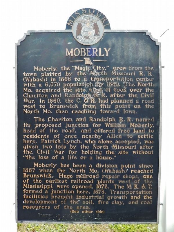
Moberly
The Chariton and Randolph R.R. named its proposed junction for William Moberly, head of the road, and offered free land to residents of once nearby Allen to settle here. Patrick Lynch, who alone accepted, was given two lots by the North Missouri after the Civil War for holding the site without “the loss of a life or a house.”
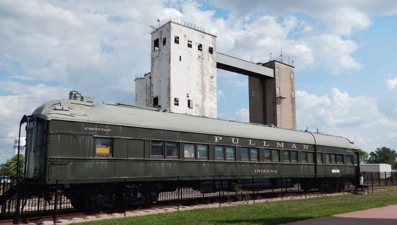
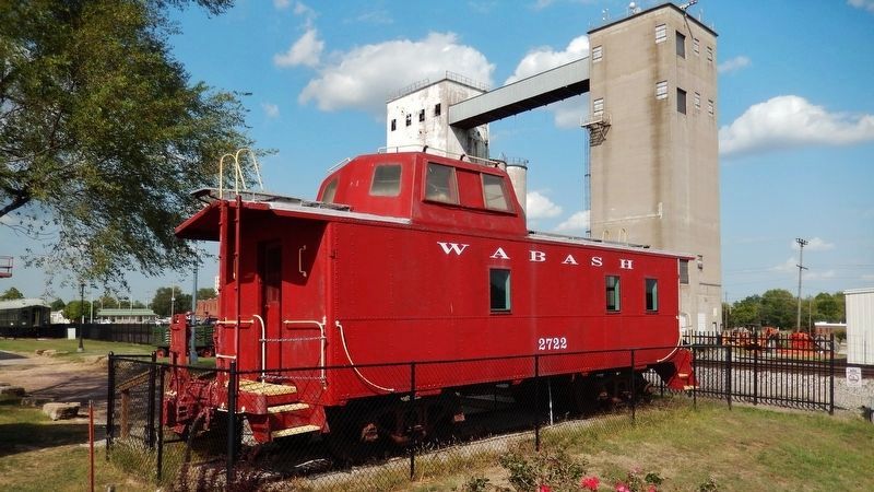
Moberly has been a division point since 1867 when the North Mo. (Wabash) reached Brunswick. Huge railroad repair shops, one of the earliest railroad plants west of the Mississippi, were opened, 1872. The M.K. & T. formed a junction here, 1873. Transportation facilities brought industrial growth and the development of the soil, fire clay, and coal resources of the area.
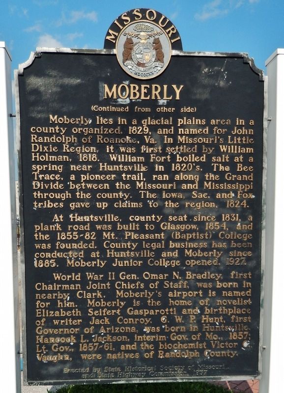
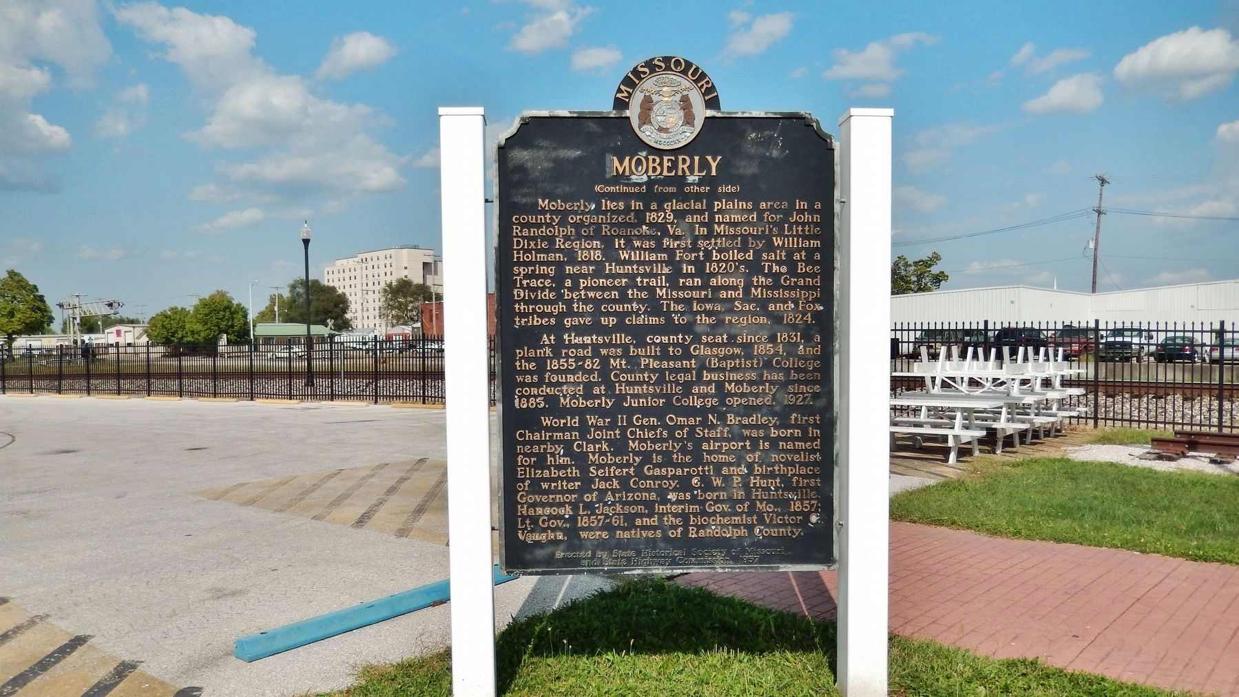
Moberly lies in a glacial plains area in a county organized, 1829, and named for John Randolph of Roanoke, Va. In Missouri’s Little Dixie Region, it was first settled by William Holman, 1818. William Fort boiled salt at a spring near Huntsville in 1820’s. The Bee Trace, a pioneer trail, ran along the Grand Divide between the Missouri and Mississippi through the county. The Iowa Sac and Fox tribes gave up claims to the region, 1824.
At Huntsville, county seat since 1831, a plank road was built to Glasgow, 1854, and the 1855-82 Mt. Pleasant (Baptist) College was founded. County legal business had been conducted at Huntsville and Moberly since 1885. Moberly Junior College opened, 1927.
World War II Gen. Omar N. Bradley, first Chairman Joint Chiefs of Staff, was born in nearby Clark. Moberly’s airport is named for him. Moberly is the home of novelist Elizabeth Selfert Gasparotti and birthplace of writer Jack Conroy. C.W.P Hunt, first Governor of Arizona, was born in Huntsville. Hancock L. Jackson, interim Gov. of Mo., 1857; Lt. Gov., 1857-61, and the biochemist Victor Vaughn, were natives of Randolph County.
Erected by State Historical Society of Missouri and State Highway Commission. (Marker Number 1957.)
Topics and series. This historical marker is listed in these topic lists: Industry & Commerce • Railroads & Streetcars • Settlements & Settlers. In addition, it is included in the Missouri, The State Historical Society of series list. A significant historical year for this entry is 1866.
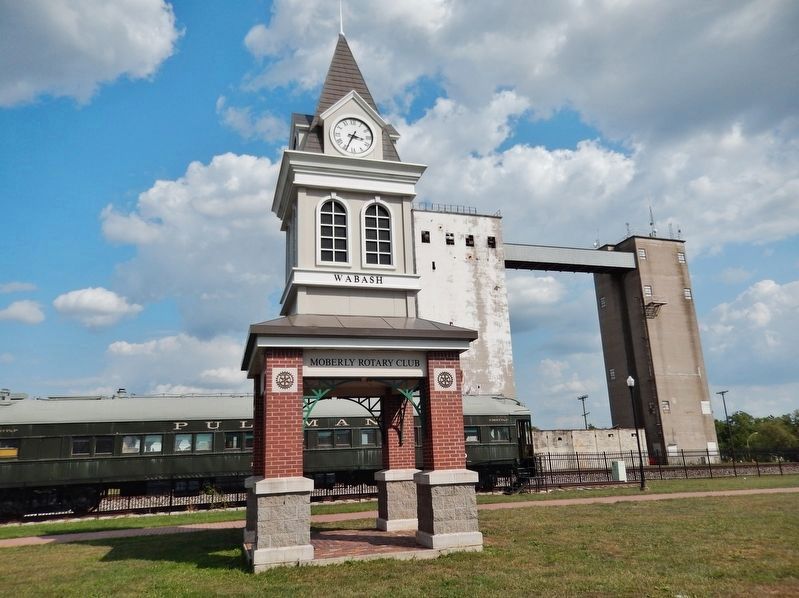
Location. 39° 25.19′ N, 92° 26.186′ W. Marker is in Moberly, Missouri, in Randolph County. Marker is at the intersection of North Sturgeon Street and West Reed Street, on the right when traveling north on North Sturgeon Street. Located in the Railroad Museum and Park, site of the former Moberly Railroad Depot. Touch for map. Marker is at or near this postal address: 100 N Sturgeon St, Moberly MO 65270, United States of America. Touch for directions.
Other nearby markers. At least 3 other markers are within 11 miles of this marker, measured as the crow flies. Trail of Death (approx. 5.9 miles away); Sergeant Major Roswell B. Sayre (approx. 10.8 miles away); General Omar N. Bradley Memorial (approx. 10.8 miles away).
Also see . . .
1. Moberly, Missouri. Wikipedia entry (Submitted on January 31, 2022, by Larry Gertner of New York, New York.)
2. Wabash Railroad History. Wabash Railroad Historical Society website homepage:
During the Civil War period from 1861 to 1865, the North Missouri's property was a military objective for both the Union and Confederate Armies operating in the vicinity. Following the War, the North Missouri Railroad began to rebuild the lines destroyed in military maneuvers and also began the construction of what was then known as the "West Branch," a line running from Moberly to Birmingham, a small town near Kansas City. (Submitted on November 15, 2017, by Cosmos Mariner of Cape Canaveral, Florida.)
Credits. This page was last revised on April 22, 2022. It was originally submitted on November 15, 2017, by Cosmos Mariner of Cape Canaveral, Florida. This page has been viewed 811 times since then and 136 times this year. Photos: 1, 2, 3, 4, 5, 6. submitted on November 15, 2017, by Cosmos Mariner of Cape Canaveral, Florida. 7, 8. submitted on November 18, 2017, by Cosmos Mariner of Cape Canaveral, Florida. • Bernard Fisher was the editor who published this page.
