Silver City (ghost town) in Owyhee County, Idaho — The American West (Mountains)
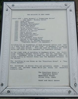
The Building of Many Names
1893 "Soda Work"
1893 "Brewery Saloon"
1894 "Stuckman Photography"
1894 "Watts Apartments"
1895 "J.G, Drug Store"
1896 "Biles Confectionary"
1896 Bowling alley (in basement)
1897 "Miller & Co. Saloon"
1989 (sic) "Oasis Saloon"
1901 "The Fransisco Bar"
1902 "Nettleton Furniture"
1903 "Candy Kitchen"
1906 "C.M. Caldwell Drug Store"
1907 Burned in Christmas Fire
1909 Rebuilt to "C. Haliday Furniture" & "Vegetable Market" (in basement)
Building sit on foundation of hand mortared native rock that is 3 feet thick and is 15 feet high. In basement is a spring that runs year around. This was used for Brewery and Soda Works and later to cool basement for vegetable storage.
On the right side of building is Deadmans Alley, the fictitious boundary between "China town" and the business district. Deadmans Alley is named for the gunfight death of Joseph Koenig by Colonel Dewey near the basement entrance to the Saloon.
The building is now known as the "Furniture Store" & "Vegetable Market".
All buildings in Silver City are privately owned. Please respect our private homes while you enjoy our wonderful historic town.
Washington Street
Silver City, Idaho
Grant and Carol Danner
Erected by Grant and Carol Danner.
Topics. This historical marker is listed in this topic list: Settlements & Settlers.
Location. 43° 0.96′ N, 116° 43.95′ W. Marker is in Silver City (ghost town), Idaho, in Owyhee County. Marker is at the intersection of Washington Street and Deadmans Alley, on the left when traveling north on Washington Street. Touch for map. Marker is in this post office area: Murphy ID 83650, United States of America. Touch for directions.
Other nearby markers. At least 4 other markers are within 17 miles of this marker, measured as the crow flies. Silver City (a few steps from this marker); The Murphy School House District 14 (approx. 16.6 miles away); a different marker also named The Murphy School House District 14 (approx. 16.6 miles away); The Otter Massacre (approx. 16.7 miles away).
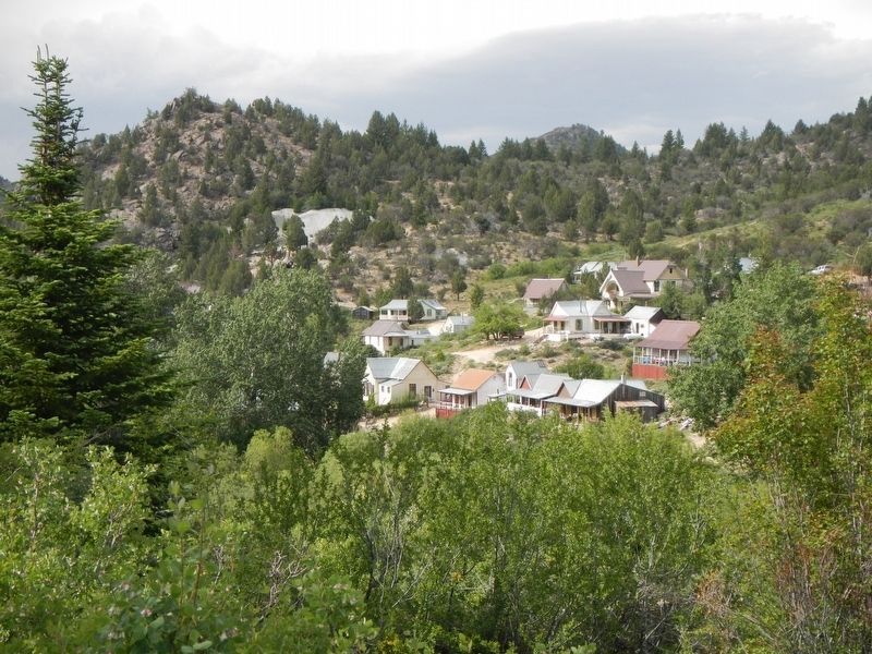
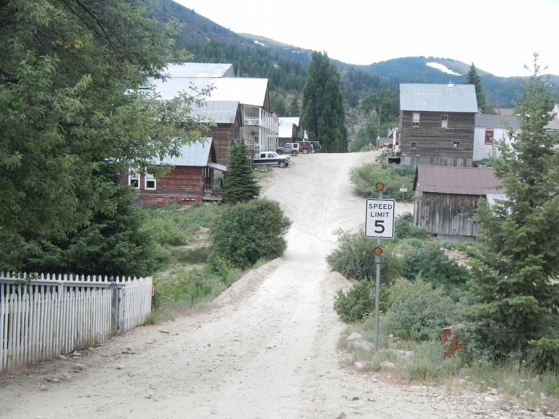
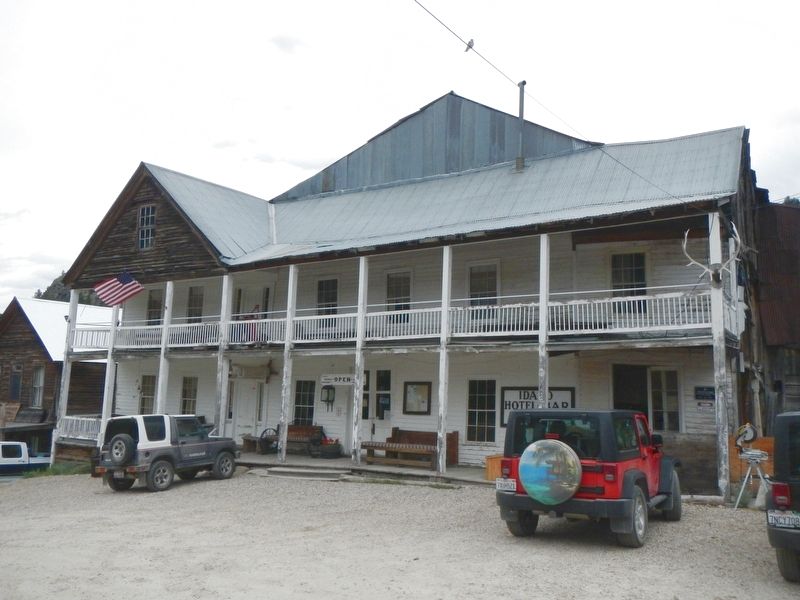
Regarding The Building of Many Names. Silver City is a historic silver mining ghost town located in the Owyhee Mountains at an elevation of approximately 6,200 feet. The "city" never burned, so consequently there remains about 70 original buildings; all privately owned, some by descendants of the original miners. There are few-to-none markers in town. Some residents, summer only, are not very welcoming of visitors and don't wish to promote tourism, as if the 25 mile ROUGH, dirt, gravel & larger road isn't enough. Still they host 4th of July and Labor Day events which fill the "city." There are few services in Silver City, just one small hotel/restaurant/bar (very basic, no electricity) and no gas. There is also a small primitive campground managed by the BLM. Silver City is not to be missed!
Credits. This page was last revised on November 18, 2017. It was originally submitted on November 18, 2017, by Barry Swackhamer of Brentwood, California. This page has been viewed 266 times since then and 18 times this year. Photos: 1, 2, 3, 4, 5, 6. submitted on November 18, 2017, by Barry Swackhamer of Brentwood, California.


