Tryon in Polk County, North Carolina — The American South (South Atlantic)
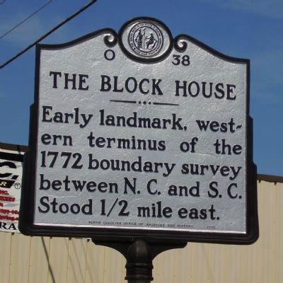
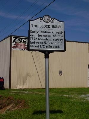
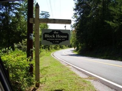
The Block House
Erected by North Carolina Office of Archives and History. (Marker Number O-38.)
Topics and series. This historical marker is listed in these topic lists: Landmarks • Political Subdivisions. In addition, it is included in the North Carolina Division of Archives and History series list. A significant historical year for this entry is 1772.
Location. 35° 11.836′ N, 82° 13.708′ W. Marker is in Tryon, North Carolina, in Polk County. Marker is on S. Trade St (U.S. 176), on the right when traveling north. Located on the east side of U.S. 176, just north of the North and South Carolina Line. Touch for map. Marker is in this post office area: Tryon NC 28782, United States of America. Touch for directions.
Other nearby markers. At least 8 other markers are within 3 miles of this marker, measured as the crow flies. The Tryon Horse (approx. one mile away); Tryon Toy House (approx. 1.2 miles away); Sidney Lanier (approx. 2.1 miles away); a different marker also named Sidney Lanier (approx. 2.1 miles away); Tryon Peak (approx. 2.2 miles away); Stoneman's Raid (approx. 2.2 miles away); Harmon Field (approx. 2.3 miles away); Tryon Mountain (approx. 2.4 miles away). Touch for a list and map of all markers in Tryon.
Also see . . . Tryon Riding and Hunt Club / Steeplechese. (Submitted on September 4, 2008, by Stanley and Terrie Howard of Greer, South Carolina.)
Credits. This page was last revised on July 1, 2021. It was originally submitted on September 4, 2008, by Stanley and Terrie Howard of Greer, South Carolina. This page has been viewed 1,501 times since then and 56 times this year. Photos: 1, 2, 3. submitted on September 4, 2008, by Stanley and Terrie Howard of Greer, South Carolina. • Kevin W. was the editor who published this page.


