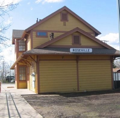
Roseville in Placer County, California — The American West (Pacific Coastal)
Roseville
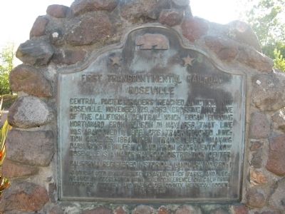
First Transcontinental Railroad
Erected 1989 by State Department of Parks and Recreation in cooperation with the Conference of California Historical Societies and The Placer County Historical Society. (Marker Number 780-1.)
Topics and series. This historical marker is listed in these topic lists: Industry & Commerce • Landmarks • Railroads & Streetcars. In addition, it is included in the California Historical Landmarks, and the Transcontinental Railroad series lists. A significant historical date for this entry is April 25, 1864.
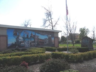
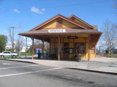
Location. 38° 45.062′ N, 121° 17.169′ W. Marker is in Roseville, California, in Placer County. Marker is at the intersection of Church Street and Washington Boulevard, on the right when traveling east on Church Street. Marker is located in Old Town Roseville. Touch for map. Marker is in this post office area: Roseville CA 95678, United States of America. Touch for directions.
Other nearby markers. At least 8 other markers are within walking distance of this marker. Roseville's First Hospital (within shouting distance of this marker); The Roseville Methodist Church (within shouting distance of this marker); Roseville Tribune and Register Building (within shouting distance of this marker); The Owl Club Building (within shouting distance of this marker); Chicago West Building (about 300 feet away, measured in a direct line); Bank of Italy Building (about 400 feet away); Lest We Forget (about 400 feet away); Incorporation (about 400 feet away). Touch for a list and map of all markers in Roseville.
Regarding Roseville. This site is a California Registered Historical Landmark (No. 780-1).
Photographed By Syd Whittle, October 21, 2010
6. Displayed in the Theodore Judah Wing - Roseville Carnegie Library Museum
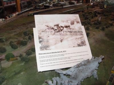
Where were you on Saturday April 28, 1973?
On that day, a train loaded with artillery shells headed to Mare Island Naval Station exploded at the south end of the Roseville rail yard, destroying the town of Antelope.
The explosion was felt from downtown Sacramento to Auburn, and shells continued to explode for about 24 hours. Unexploded shells were found buried in the area through the 1980’s.
Though no one was killed, many were injured by flying glass as windows shattered in their homes. A piece of one of the exploded boxcars holds this sign. Behind you is one of the exploded shells.
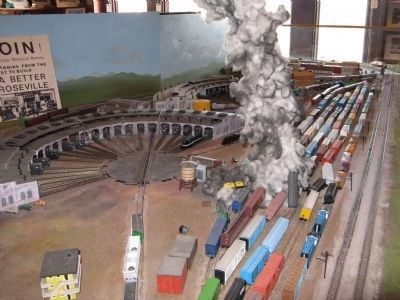
Photographed By Syd Whittle, October 21, 2010
8. The 1973 Explosion
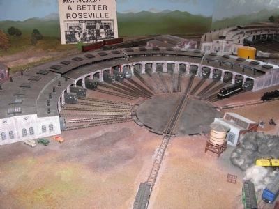
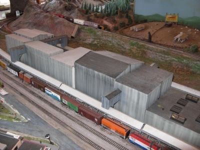
Dominating the Judah wing of the Roseville Carnegie Library Museum is a working n-scale (1/160) model of the Roseville rail yard with historic roundhouses, historic downtown Roseville, and the Pacific Fruit Express Ice-Making Facility.
Credits. This page was last revised on November 3, 2020. It was originally submitted on September 5, 2008, by Syd Whittle of Mesa, Arizona. This page has been viewed 2,396 times since then and 40 times this year. Photos: 1, 2. submitted on September 5, 2008, by Syd Whittle of Mesa, Arizona. 3, 4, 5. submitted on November 4, 2008, by Syd Whittle of Mesa, Arizona. 6, 7, 8, 9, 10. submitted on October 23, 2010, by Syd Whittle of Mesa, Arizona. • Kevin W. was the editor who published this page.
