Hernando in Citrus County, Florida — The American South (South Atlantic)
Church of the Nazarene Hernando/Architectural Description
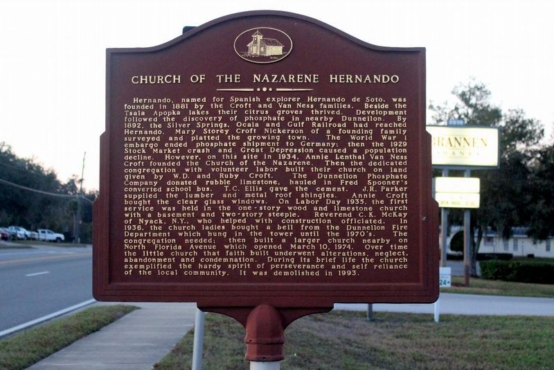
Church of the Nazarene Hernando
Hernando, named for Spanish explorer Hernando de Soto, was founded in 1881 by the Croft and Van Ness families. Beside the Tsala Apopka lakes their citrus groves thrived. Development followed the discovery of phosphate in nearby Dunnellon. By 1892, the Silver Springs, Ocala and Gulf Railroad had reached Hernando. Mary Storey Croft Nickerson of a founding family surveyed and platted the growing town. The World War I embargo ended phosphate shipment to Germany; then the 1929 Stock Market crash and Great Depression caused a population decline. However, on this site in 1934, Annie Lenthal Van Ness Croft founded the Church of the Nazarene. Then the dedicated congregation with volunteer labor built their church on land given by W.D. and Ruby Croft. The Dunnellon Phosphate Company donated rubble limestone, hauled in Fred Spooner's converted school bus. T.C. Ellis gave the cement. J.R. Parker supplied the lumber and metal roof shingles. Annie Croft bought the clear glass windows. On Labor Day 1935, the first service was held in the one-story wood and limestone church with a basement and two-story steeple. Reverend C.K. McKay of Nyack, N.Y., who helped with construction officiated. In 1936, the church ladies bought a bell from the Dunnellon Fire Department which hung in the tower until the 1970's. The congregation needed; then built a larger church nearby on North Florida Avenue which opened March 10, 1974. Over time the little church that faith built underwent alterations, neglect, abandonment and condemnation. During its brief life the church exemplified the hardy spirit of perseverance and self reliance of the local community. It was demolished in 1993.
(side 2)
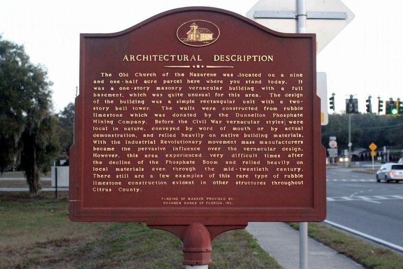
Architectural Description
The old Church of the Nazarene was located on a nine and one-half acre parcel here where you stand today. It was a one-story masonry vernacular building with a full basement, which was quite unusual for this area. The design of the building was a simple rectangular unit with a two-story bell tower. The walls were constructed from rubble limestone which was donated by the Dunnellon Phosphate Mining Company. Before the Civil War vernacular styles were local in nature, conveyed by word of mouth or by actual demonstration, and relied heavily on native building materials. With the Industrial Revolutionary movement mass manufacturers became the pervasive influence over the vernacular design. However, this area experienced very difficult times after the decline of the Phosphate Boom and relied heavily on local materials even through the mid-twentieth century. There still are a few examples of this rare type of rubble limestone construction evident in other structures throughout Citrus County.
Erected by Brannen Banks of Florida, Inc.
Topics. This historical marker is listed in these topic lists: Architecture • Churches & Religion • Settlements & Settlers. A significant historical year for this entry is 1881.
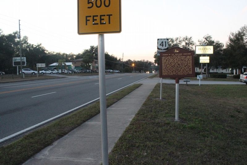
Location. 28° 53.945′ N, 82° 22.415′ W. Marker is in Hernando, Florida, in Citrus County. Marker is at the intersection of North Florida Avenue (U.S. 41) and East Parsons Point Road, on the right when traveling north on North Florida Avenue. Touch for map. Marker is at or near this postal address: 2519 N Florida Ave, Hernando FL 34442, United States of America. Touch for directions.
Other nearby markers. At least 8 other markers are within 5 miles of this marker, measured as the crow flies. Historic Hernando School (about 400 feet away, measured in a direct line); Close to Starvation (approx. 4.4 miles away); R. O. Hicks House (approx. 4.9 miles away); The McLeod House (approx. 4.9 miles away); J. K. Kelly House (approx. 5 miles away); The Inverness Woman's Club (approx. 5 miles away); Surprise Attack (approx. 5 miles away); The George Carter House (approx. 5 miles away).
Also see . . . Nazarene Church of Hernando. (Submitted on January 1, 2018, by Tim Fillmon of Webster, Florida.)
Credits. This page was last revised on January 2, 2018. It was originally submitted on January 1, 2018, by Tim Fillmon of Webster, Florida. This page has been viewed 350 times since then and 20 times this year. Photos: 1, 2, 3. submitted on January 1, 2018, by Tim Fillmon of Webster, Florida. • Bernard Fisher was the editor who published this page.


