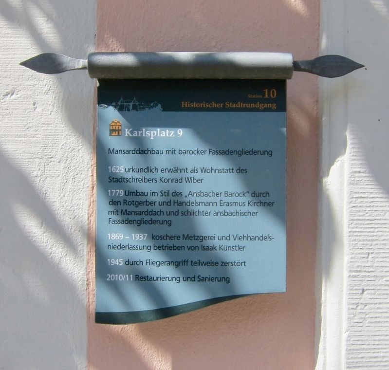
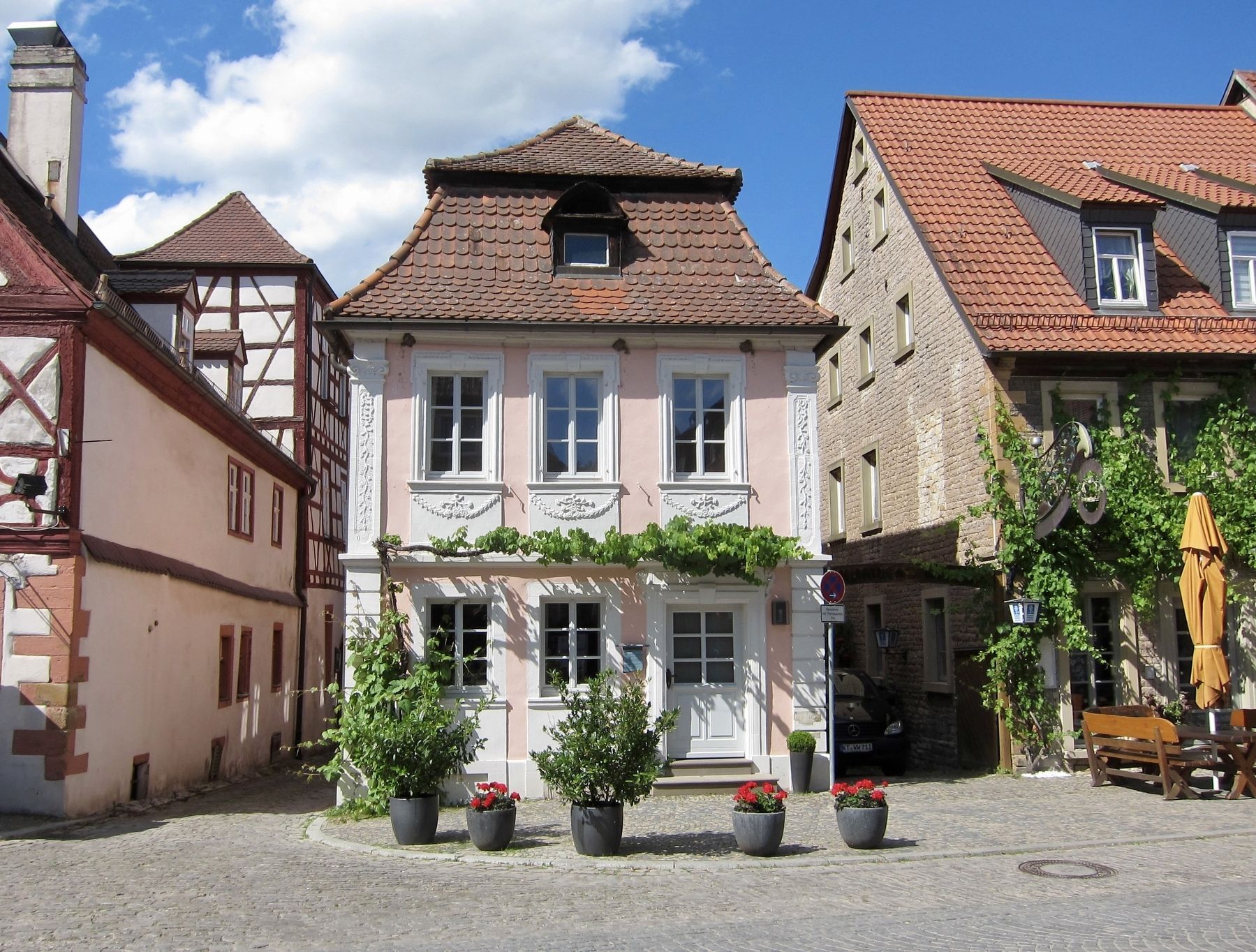
Karlsplatz 9
Historischer Stadtrundgang / Historical Town Walk
1625 urkundlich erwähnt als Wohnstatt des Stadtschreibers Konrad Wiber
1779 Umbau im Stil des "Ansbacher Barock" durch den Rotgerber und Handelsmann Erasmus Kirchner mit Mansarddach und schlichter ansbachischer Fassadengliederung
1869-1937 koschere Metzgerei und Viehhandelsniederlassung betrieben von Isaak Künstler
1945 durch Fliegerangriff teilweise zerstört
2010/11 Restaurierung und Sanierung
Mansard roof with baroque facade
1625 documented as the residence of the town clerk Konrad Wiber
1779 Reconstructed in the style of the "Ansbacher Baroque" by the hide-tanner and trader Erasmus Kirchner with a mansard roof and simple Ansbach-style facade
1869-1937 Kosher butcher shop and cattle-trade operated by Isaak Künstler
1945 partially destroyed in an aerial attack
2010/11 Restored and renovated (Marker Number 10.)
Topics. This historical marker is listed in this topic list: Notable Buildings
Location. 49° 49.062′ N, 10° 21.194′ E. Marker is in Prichsenstadt, Bayern (Bavaria), in Kitzingen. Marker is at the intersection of Karlsplatz and Kirchgasse, on the left when traveling east on Karlsplatz. Touch for map. Marker is at or near this postal address: Karlsplatz 9, Prichsenstadt BY 97357, Germany. Touch for directions.
Other nearby markers. At least 8 other markers are within walking distance of this marker. Karlsplatz 7 (here, next to this marker); Schulinstrasse 1 (within shouting distance of this marker); Stadtturm / City Tower (within shouting distance of this marker); Schulinstrasse 7 (within shouting distance of this marker); Synagoge / Synagogue (about 90 meters away, measured in a direct line); Luitpoldstrasse 5/7 (about 90 meters away); Kirchgasse Stadtmauerdurchbruch / "Church Alley" Town Wall Opening (about 90 meters away); Schulinstrasse 14 (about 90 meters away). Touch for a list and map of all markers in Prichsenstadt.
More about this marker. This is 1 of the 22 markers that comprise a historic walking tour of the town.
Regarding Karlsplatz 9. The 1945 aerial attack mentioned on the marker occurred on April 5, 1945 and damaged or destroyed 7 homes and 20 barns.
Credits. This page was last revised on January 28, 2022. It was originally submitted on January 10, 2018, by Andrew Ruppenstein of Lamorinda, California. This page has been viewed 165 times since then and 6 times this year. Photos: 1, 2. submitted on January 10, 2018, by Andrew Ruppenstein of Lamorinda, California.

