Gold Hill in Jackson County, Oregon — The American West (Northwest)
The Lure of Gold
Inscription.
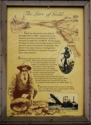
Gold was discovered in the sands of the Rogue River in 1849. Overshadowed by the excitement generated by the gold fields in California, mining did not begin here until 1851-52. The discovery of rich placers on Jackson Creek brought prospectors from all over and resulted in the founding of Jacksonville. Today parts of all the major tributaries of the Rogue River southwest of Gold Hill have experienced the gamut of placer mining operations.
Early placer mining required basic methods for washing gold from gravel. Deposits were first mined along streams and river banks, using panning and rocker methods. As streambeds gave out, sluicing was employed to process gravel from higher terrace deposits. Dry diggings necessitated the use of flumes to transport the waters, washing gold from gravel through a “Long Tom” sluice box. Later, high-pressure hydraulic giants were used to blast the gold from the higher stream terraces. Massive mechanical dredges were also used to dig their way up streambeds, leaving mounds of rock tailings behind.
Today, mining continues in the area, but at a much slower pace. Local place-names and occasional mounds of tailings remind us of Oregon’s mining legacy.
Topics. This historical marker is listed in these topic lists: Natural Resources • Settlements & Settlers. A significant historical year for this entry is 1849.
Location. 42° 27.402′ N, 123° 1.788′ W. Marker is in Gold Hill, Oregon, in Jackson County. Marker is on Rogue-Umpqua Scenic Highway (Oregon Route 234). Touch for map. Marker is at or near this postal address: 12822 Rogue-Umpqua Scenic Highway, Gold Hill OR 97525, United States of America. Touch for directions.
Other nearby markers. At least 8 other markers are within 4 miles of this marker, measured as the crow flies. The Takelma (a few steps from this marker); The Salmon Ceremony at Ti'lomikh Falls (approx. 1.1 miles away); a different marker also named The Salmon Ceremony at Ti'lomikh Falls (approx. 1.1 miles away); City of Gold Hill (approx. 2 miles away); Dardanelles (approx. 2.4 miles away); Safety Follows Wisdom (approx. 3.2 miles away); Rock Point Bridge (approx. 3˝ miles away); Rock Point Hotel (approx. 3.6 miles away). Touch for a list and map of all markers in Gold Hill.
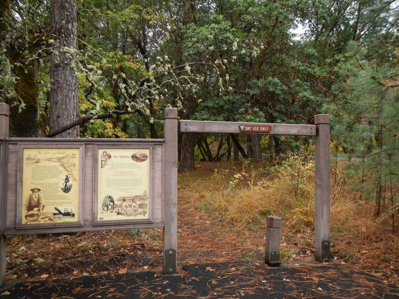
More about this marker. The Marker is at the Gold Nugget Recreation Area parking lot.
Credits. This page was last revised on January 13, 2018. It was originally submitted on January 13, 2018, by Barry Swackhamer of Brentwood, California. This page has been viewed 202 times since then and 9 times this year. Photos: 1, 2. submitted on January 13, 2018, by Barry Swackhamer of Brentwood, California.

