Rogue River in Jackson County, Oregon — The American West (Northwest)
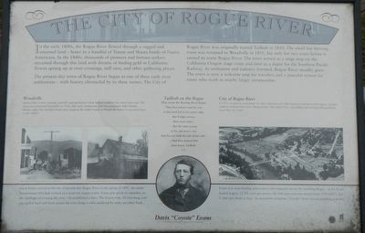
The City of Rogue River
The present-day town of Rogue River began as one of these early river settlements - with history chronicled by its three names. The City of Rogue River was originally named Tailholt in 1850. The small but thriving town was renamed Woodville in 1910, but only for two years before it earned in name Rogue River. The town served as a stage stop on the California-Oregon stage route and later as a depot for Southern Pacific Railway. As settlement and industry boomed, Rogue River steadily grew. The town is now a welcome stop for travelers and a peaceful retreat for many who work in nearby larger communities.
Erected by City of Rogue River.
Topics. This historical marker is listed in this topic list: Settlements & Settlers.
Location. 42° 25.862′ N, 123° 10.308′ W. Marker is in Rogue River, Oregon, in Jackson County. Marker is on Rogue River Highway (Oregon Route 99) near North Star Lane, on the right when traveling west. Touch for map. Marker is at or near this postal address: 8893 Rogue River Highway, Rogue River OR 97537, United States of America. Touch for directions.
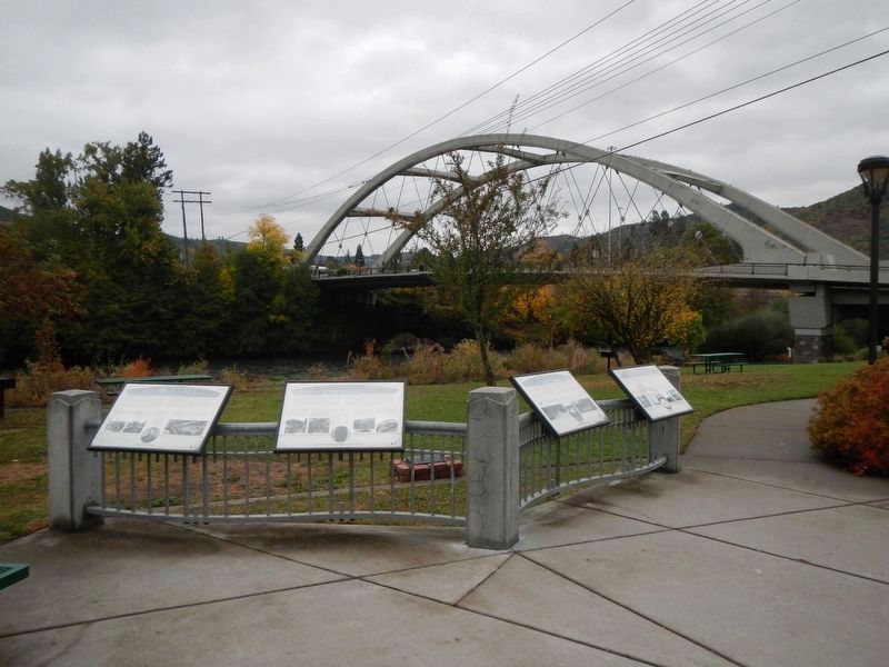
Other nearby markers. At least 8 other markers are within 4 miles of this marker, measured as the crow flies. Rising above the Rogue (here, next to this marker); A Bridge for a New Century (here, next to this marker); Crossing the Rogue (here, next to this marker); Evan's Ferry (within shouting distance of this marker); Applegate Trail - Fort Birdseye (approx. 2 miles away); Fort Birdseye (approx. 2 miles away); Valley of the Rogue Applegate Trail Kiosk (approx. 2.6 miles away); Rock Point, Oregon (approx. 4.1 miles away). Touch for a list and map of all markers in Rogue River.
More about this marker. The marker is near the Rogue River Chamber of Commerce.
Credits. This page was last revised on January 26, 2018. It was originally submitted on January 15, 2018, by Barry Swackhamer of Brentwood, California. This page has been viewed 257 times since then and 29 times this year. Photos: 1, 2. submitted on January 15, 2018, by Barry Swackhamer of Brentwood, California.

